NL
NL  IT
IT  DE
DE  ES
ES  EN
EN 
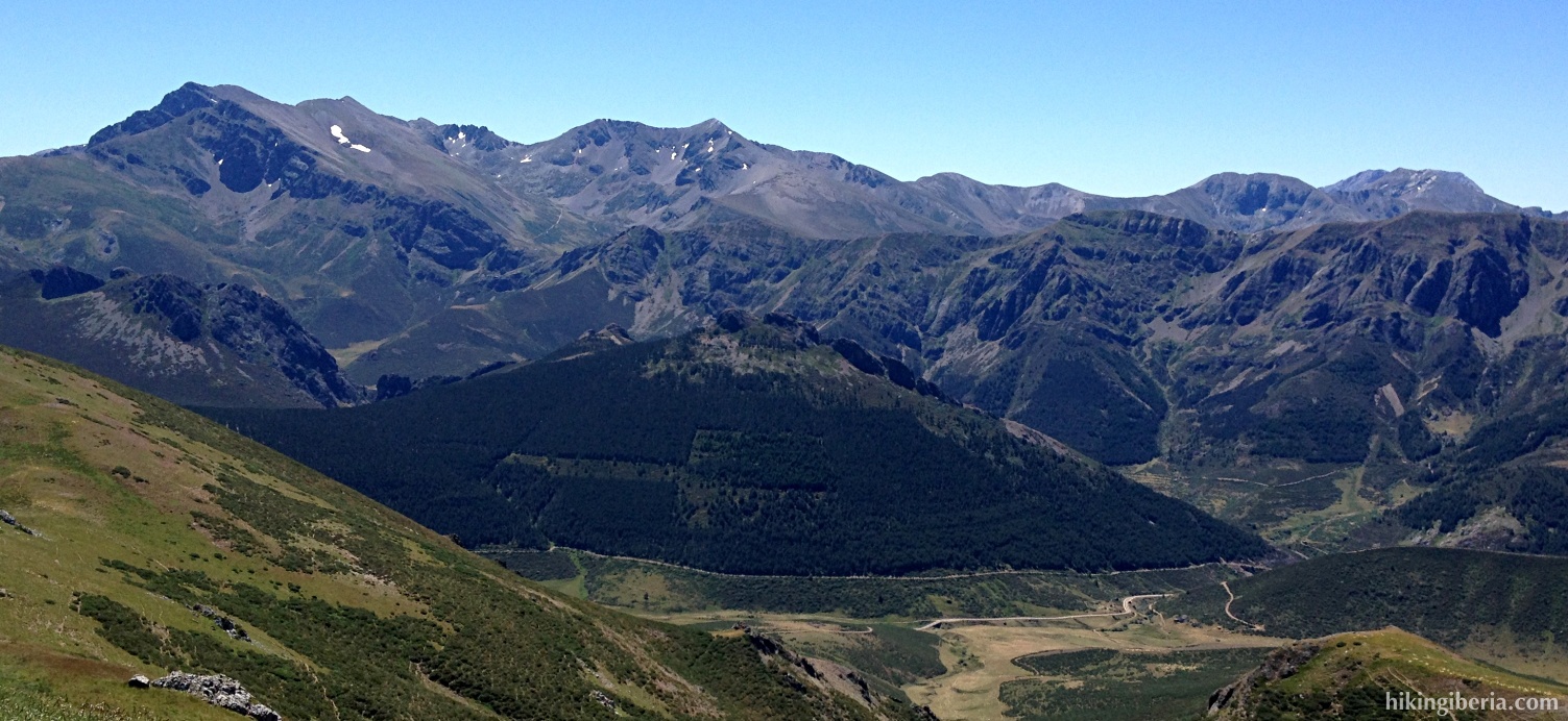
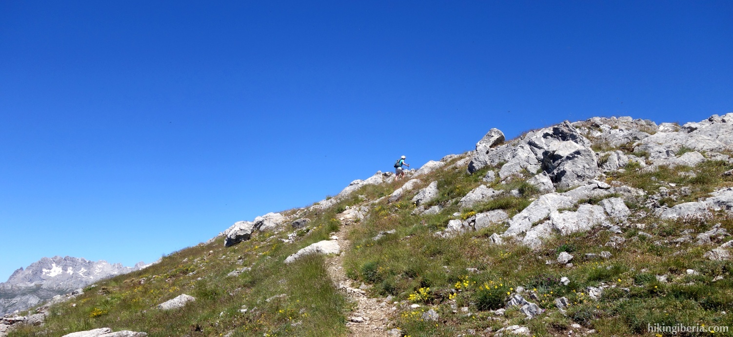
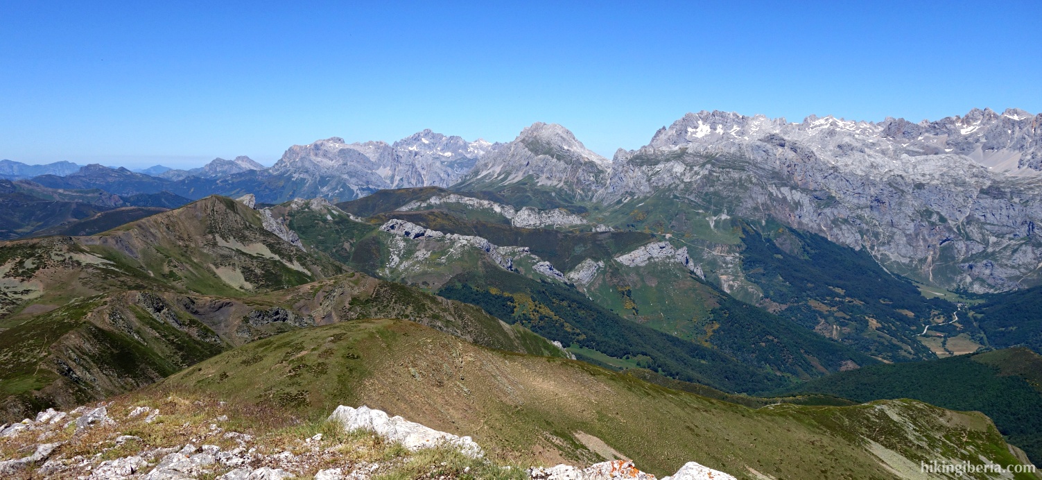
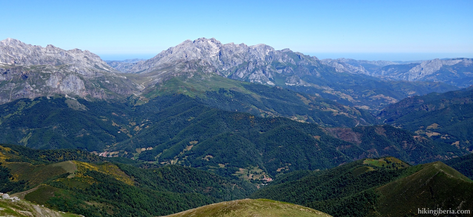
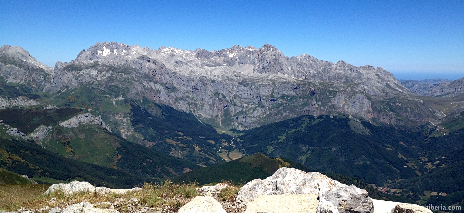
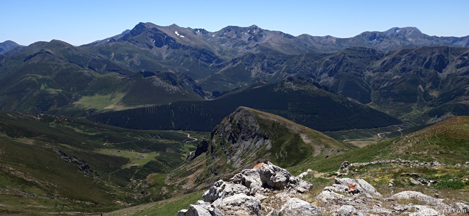
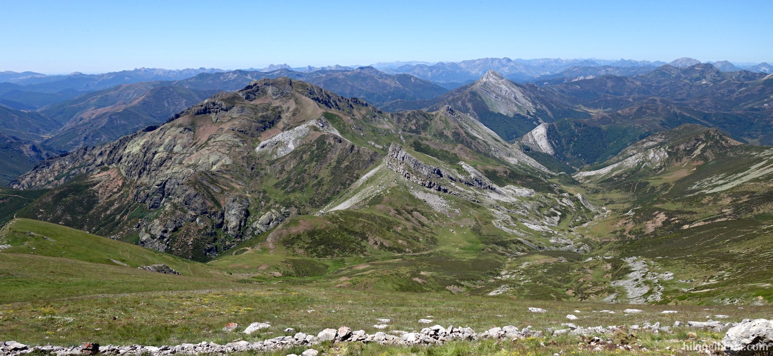
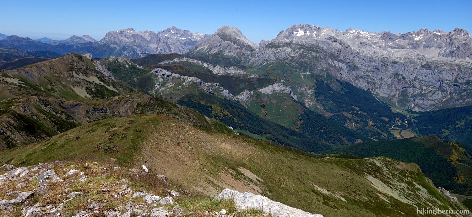
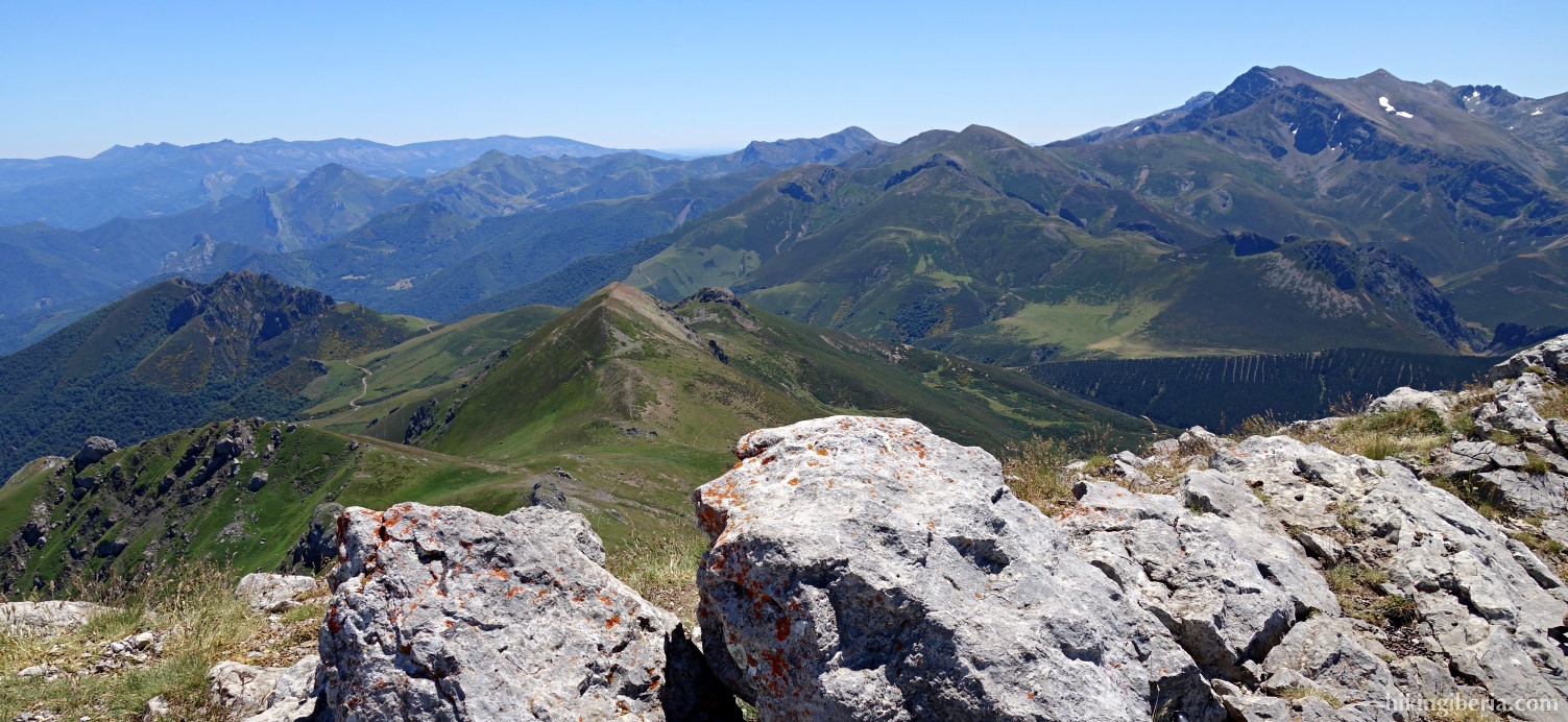
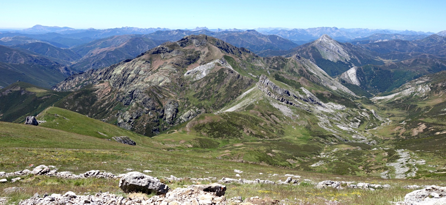
Coriscao is a summit of over 2,235 metres that is located south of the National Park of the Picos de Europa. Because of this very privileged position and its relative prominence, it is one of the best balconies on the Picos de Europa, with a breathtaking panoramic view on this great mountain range. The ascent of almost 1,000 metres goes via a good path with a relatively gradual ascent. The way back, especially the descent along the Arroyo de Puermán, is slightly more difficult because of the lack of a good path.

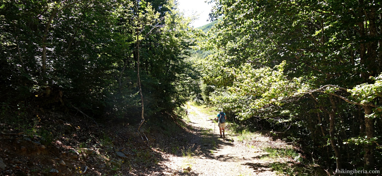
- From the car (1) we walk back along the road, go over the bridge over the Arroyo Luriana again and a bit further on turn left, onto a wide path (2).
- This path we follow some time. At a certain moment at the left a trail goes downhill towards the stream Arroyo Luriana, but we keep right here (3).
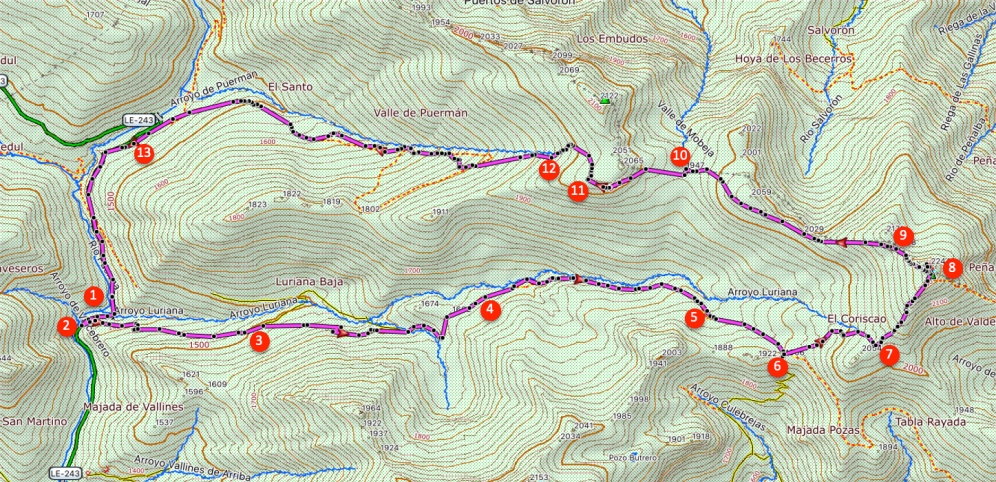
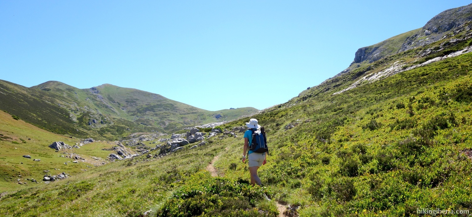
- Near a hut (4) the wide path turns into a narrow trail. From this point several trails originate, of which a few cross the stream, but we make sure to not cross it and keep walking on a trail with the stream to our left.
- Through this trail we arrive at a green meadow (5), where the trail is not very visible for a while, but a little further on to the left we see that the trail continues uphill between the mountains.
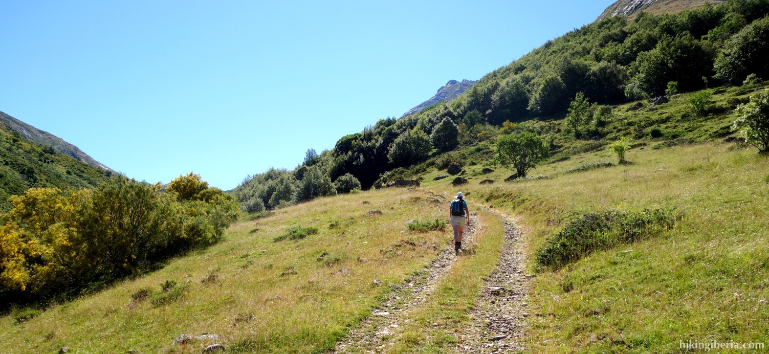
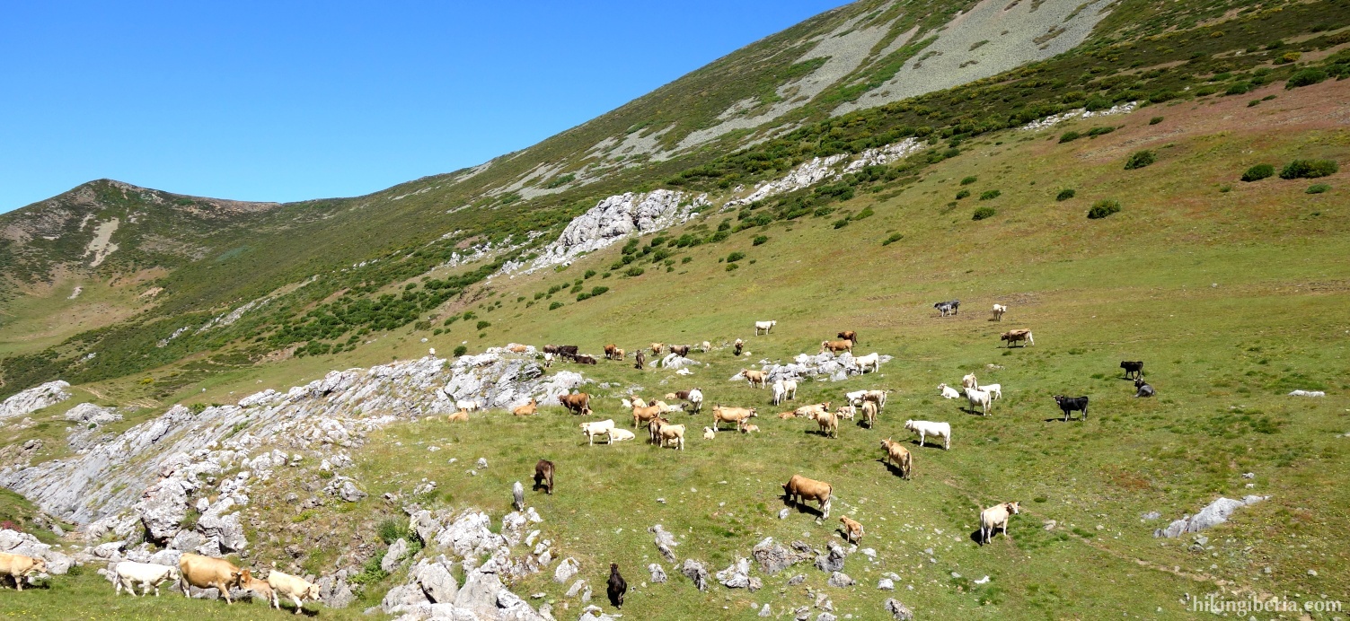
- This way we arrive at about 1,900 metres at a pass where we turn left (6), still before the fence.
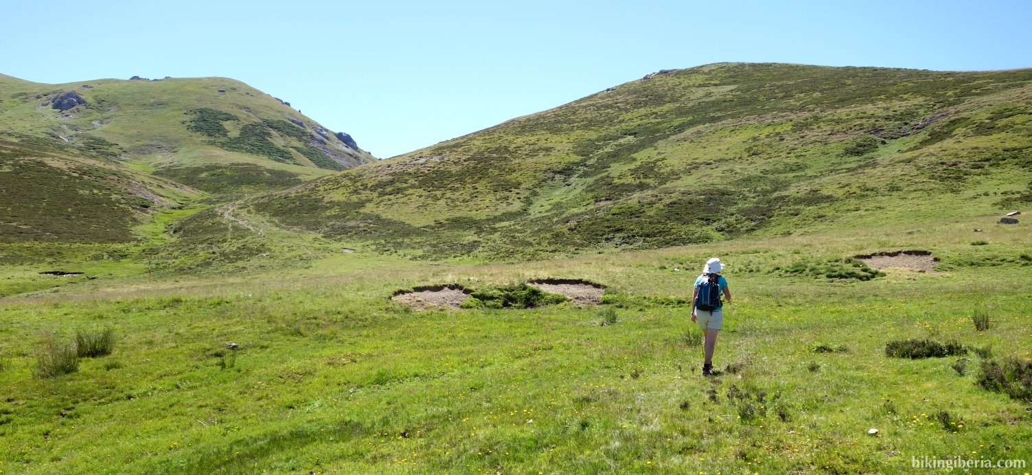
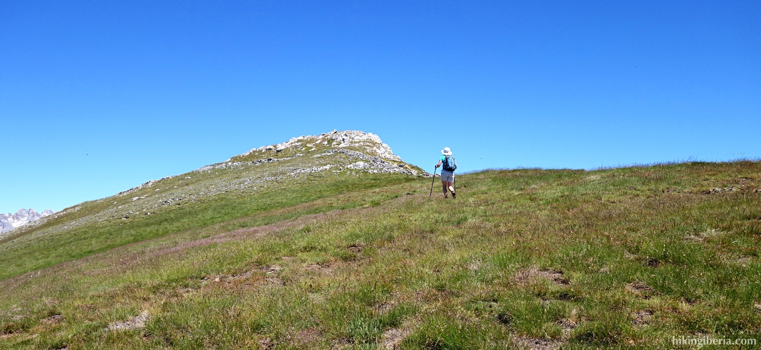
- The narrow trail is no longer visible from a certain point and we now go uphill through the open field on the grassy slope. As your direction keep a pass that you see ahead of you, the Alto de Valdeloso.
- From the Alto de Valdeloso (7) we turn left up the slope, now clearly towards the Coriscao.
- From the top of the Coriscao (8) we go downhill, at an angle of 90 degrees to the direction from which we ascended. At the initial stretch it is best to keep left to avoid the steepest and stoniest stretch.
- This way we walk towards a lower peak ahead of us (9). To the left of this peak there is a clearly discernible path that we follow.
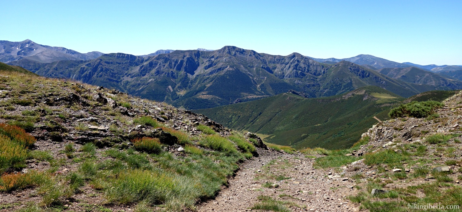
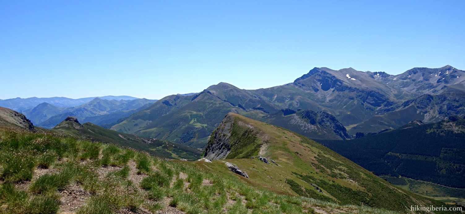
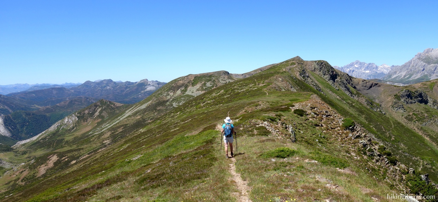
- We now descend to a ridge that we see ahead of us, on which we see a path. We follow this path over the ridge and descend further. The last stretch of the trail is not discernible, but we now clearly see the pass Puerto de la Vega de Arriba ahead of us, to which we walk.
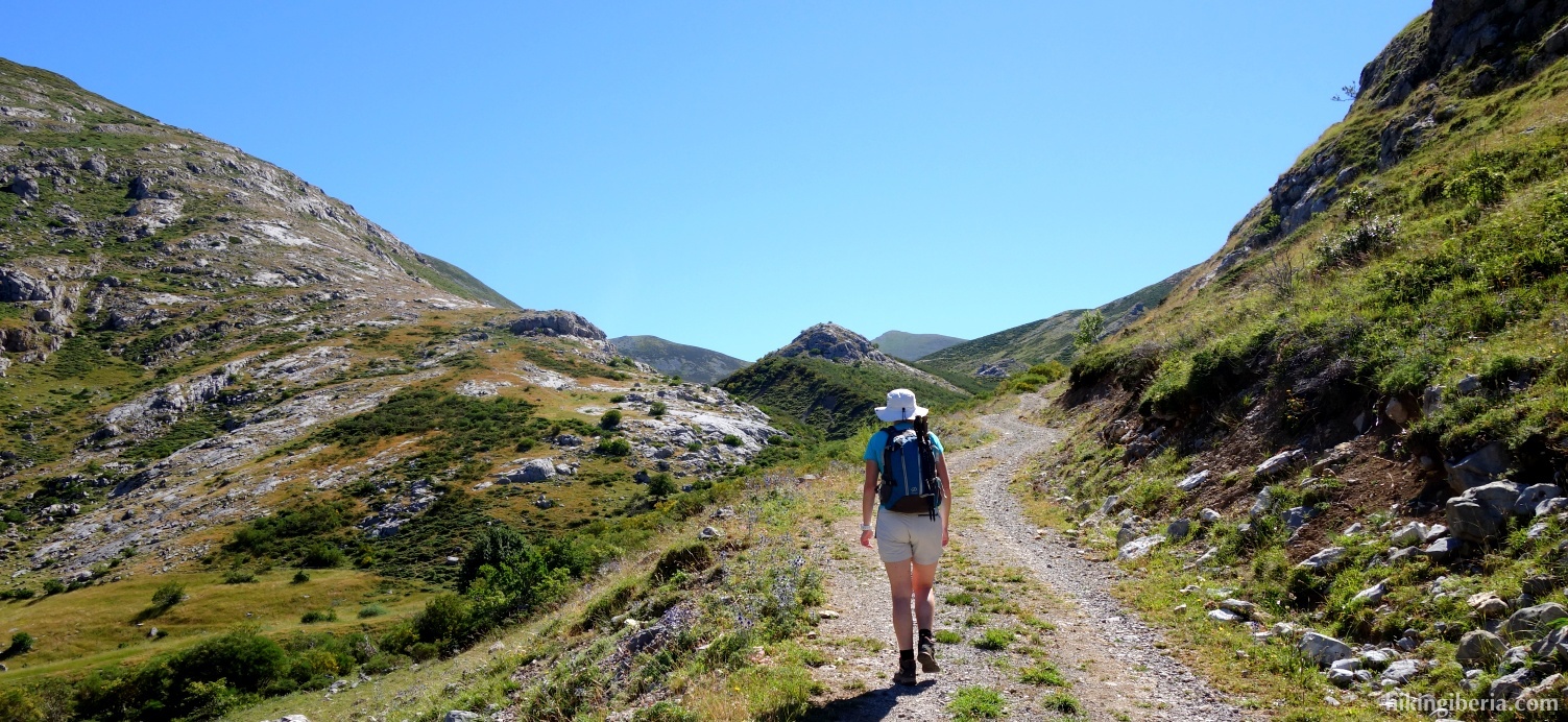
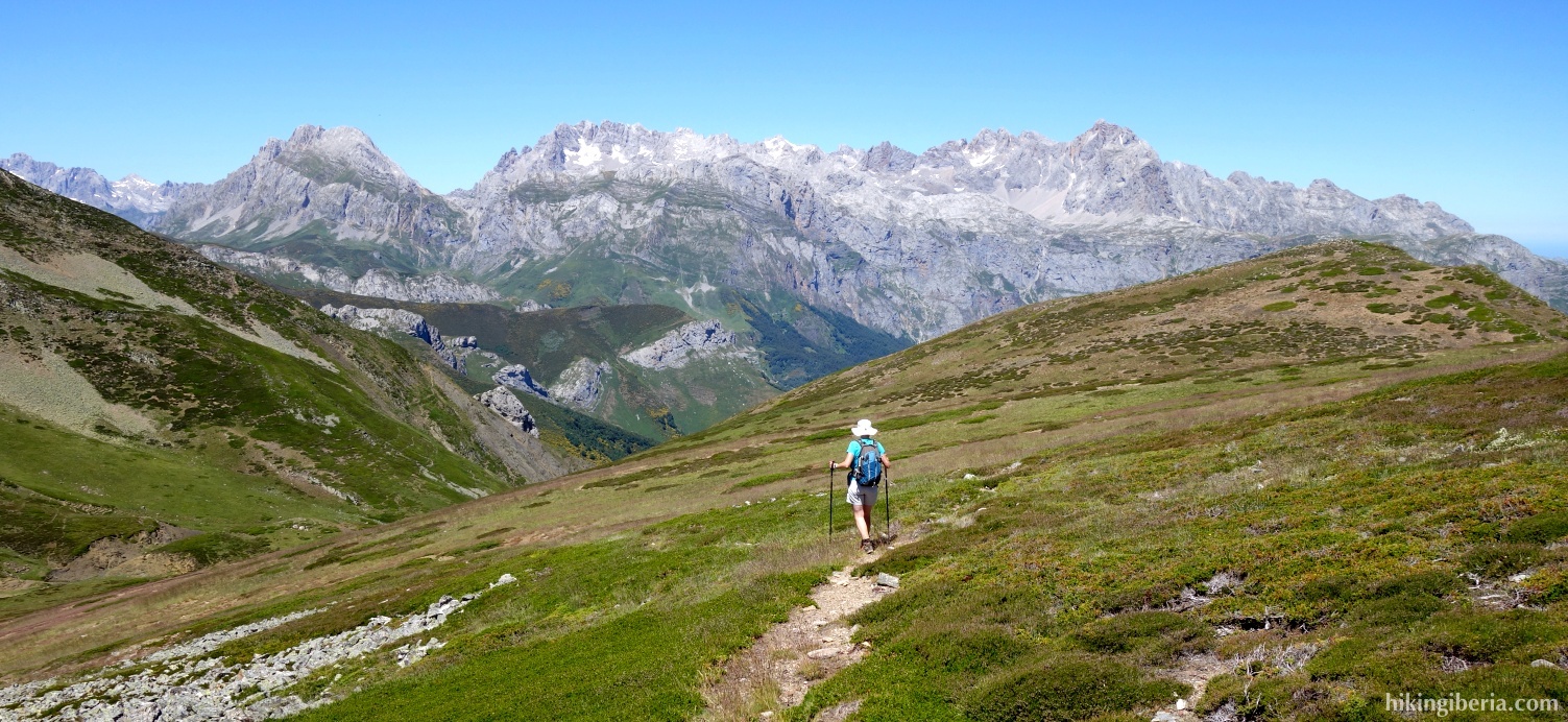
- On the Puerto de la Vega de Arriba (10) we continue more or less straight ahead and turn left along a peak of 2,065 metres. This way we ascend to over 2,000 metres. Once we are at the highest point (11) we see on the right below a green slope through which we go downhill towards a stream, the Arroyo de Puermán.
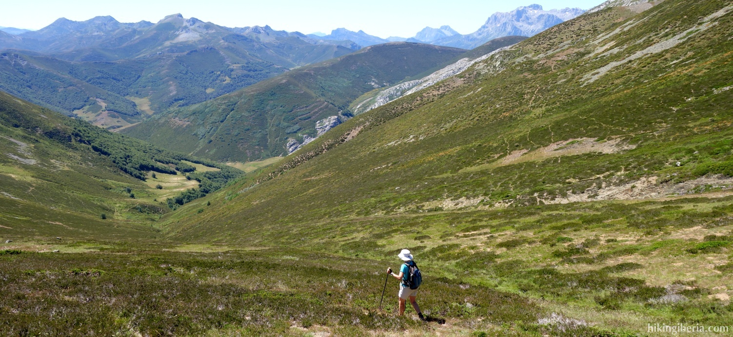
- This stream is not easy to discern, but if you descend through the middle of the slope you finally will find it (12). Follow as closely as possible a trail parallel to the course of this stream. Further down the trail becomes more visible.
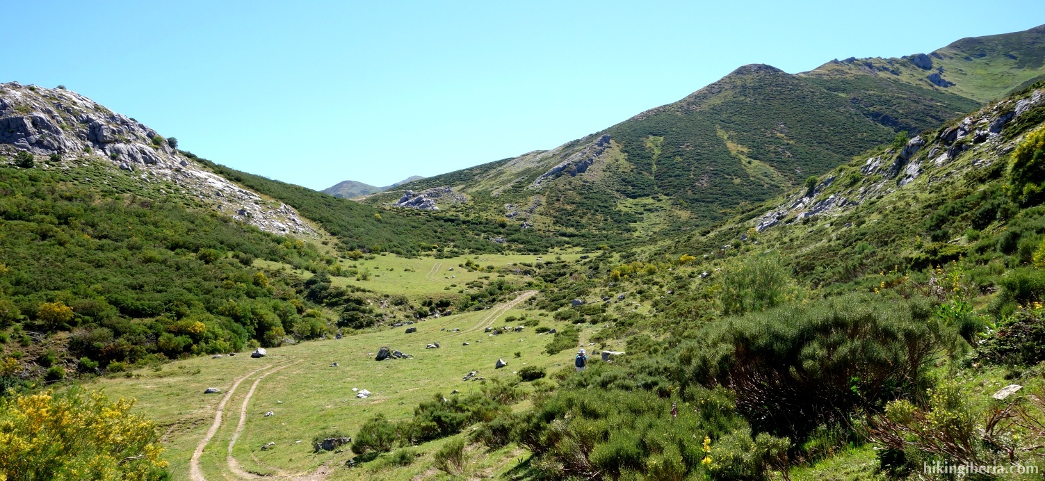
- Occasionally, the trail is not visible. Only on the last kilometre towards the asphalt road we walk on a nice wide path.
- This path eventually ends on the asphalt road LE-2703 (13), where we turn left and walk the last kilometre back to the car (1).