NL
NL  IT
IT  DE
DE  ES
ES  EN
EN 
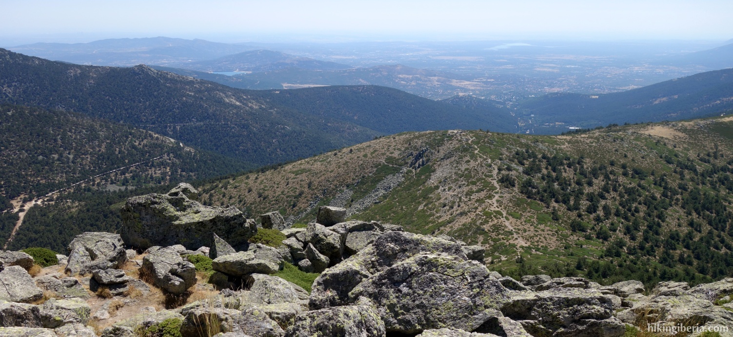
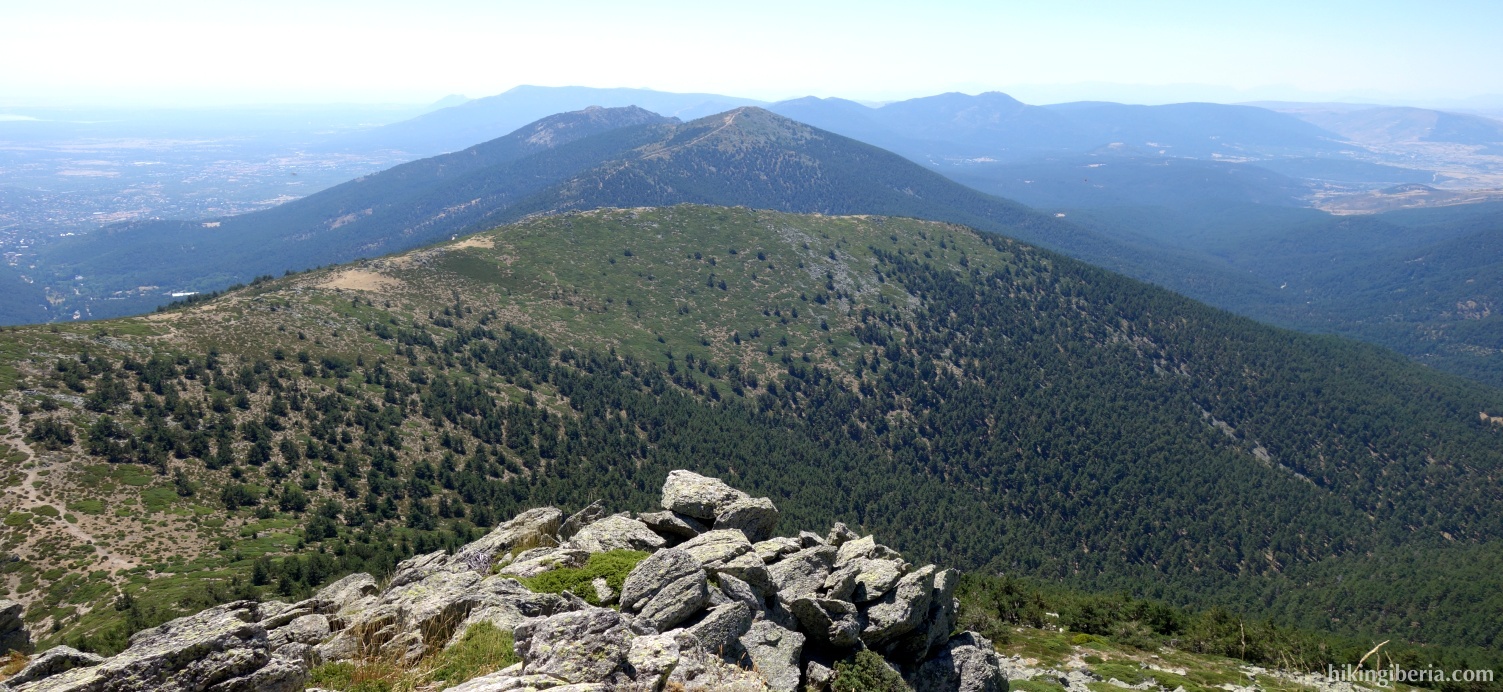
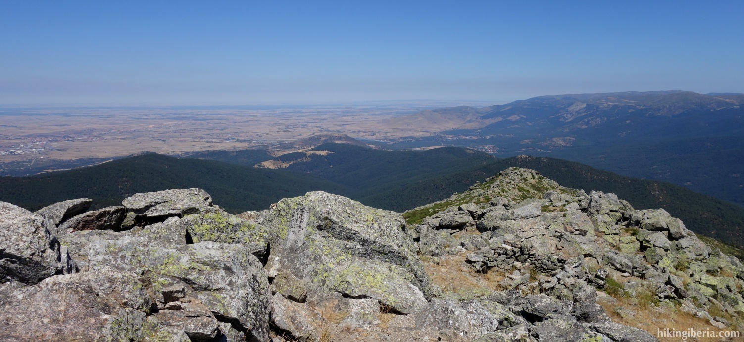
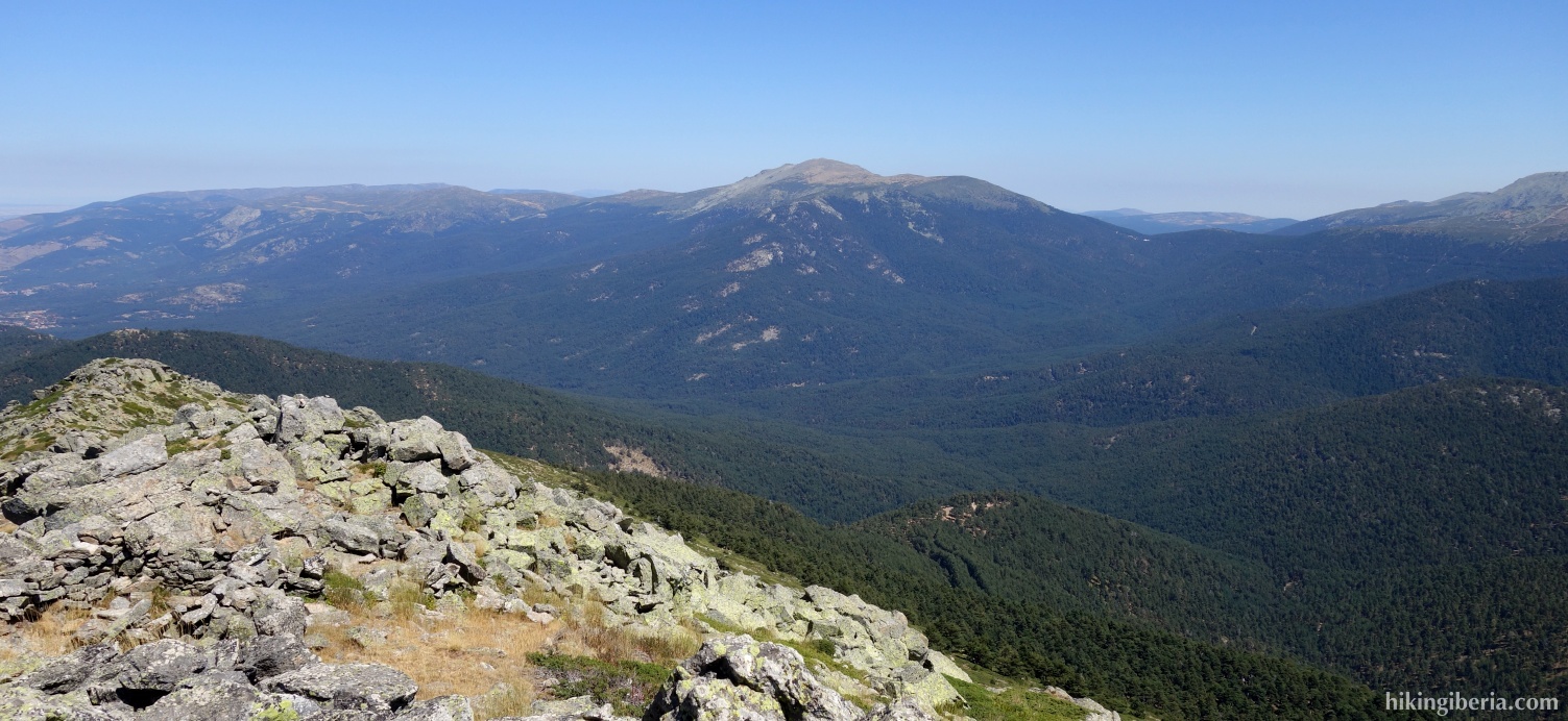
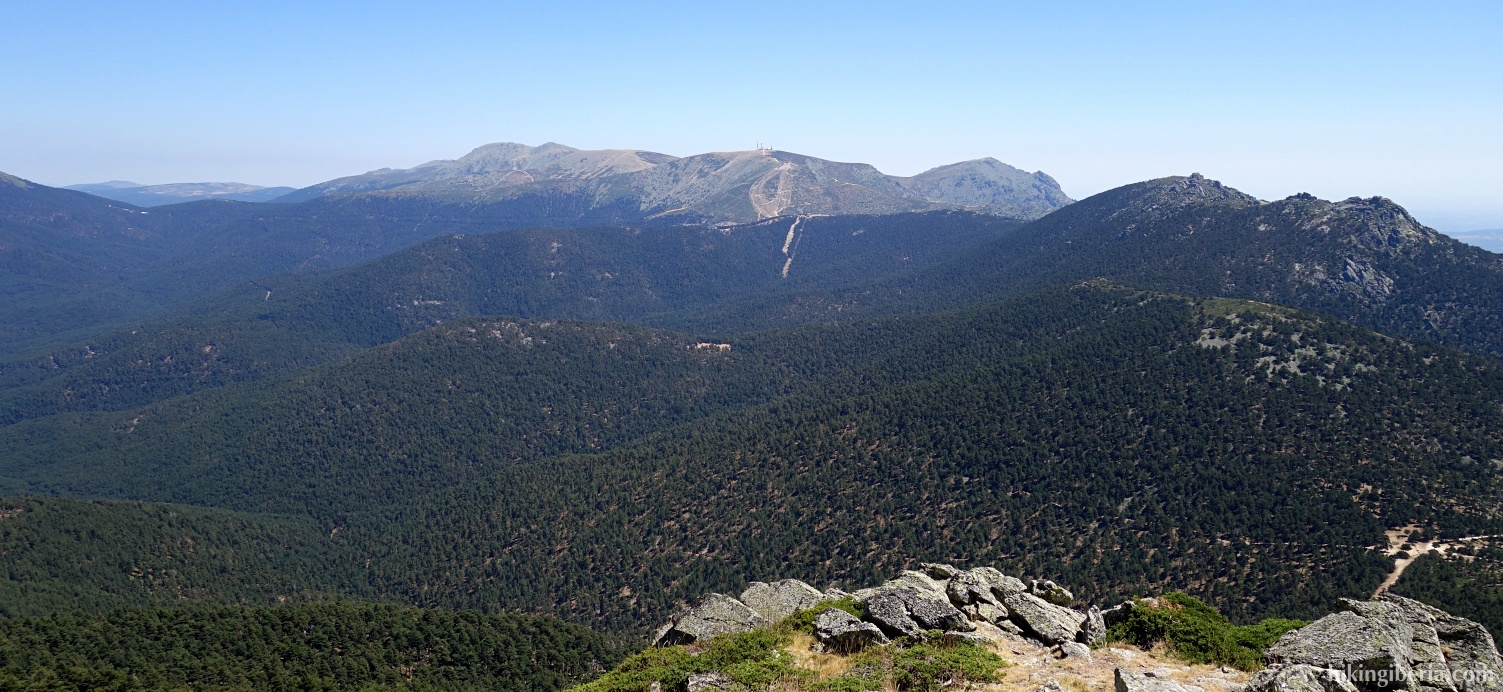
During this hike we follow for a large part the Roman way from Segovia to Titulcia, which was constructed in the first century AD. This trail takes us to the Pass of the Fuenfría. From this pass we have a nice view over the valley of Fuenfría and can we clearly see our destination: The Montón de Trigo. With 2,155 meter it is one of the highest summits of the area, which gives us a splendid view at the well-known summits of the Madrid mountains: Peñalara, Dos Hermanas, Siete Picos and La Mujer Muerta. Despite of not being long, the route requires considerable effort because of its continuous ascent and the slightly complicated surface of the path, especially at the end during the climbing of the Montón de Trigo. On this variant we take the way back via the Collado de Marichiva.
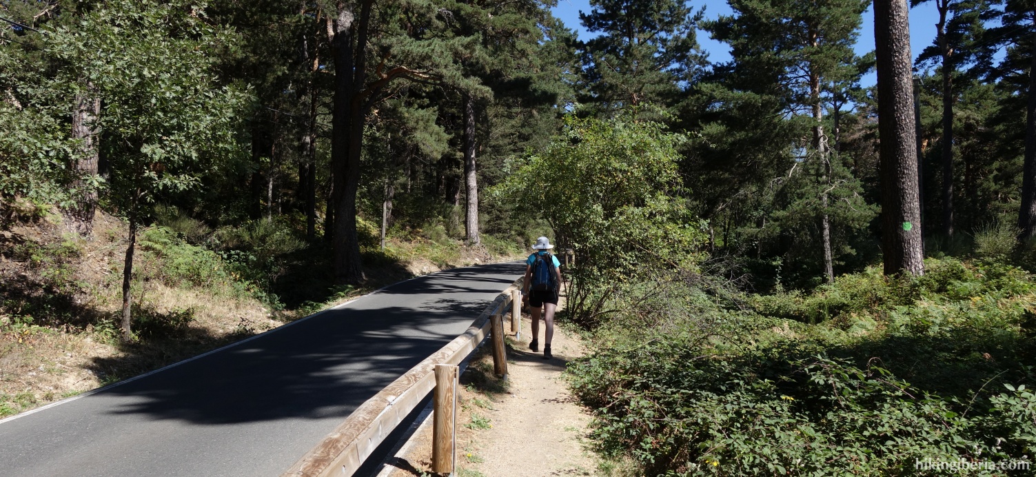
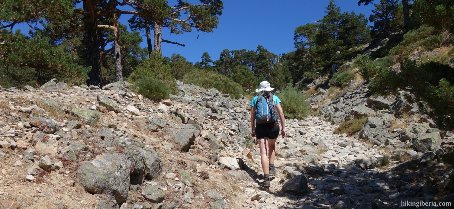
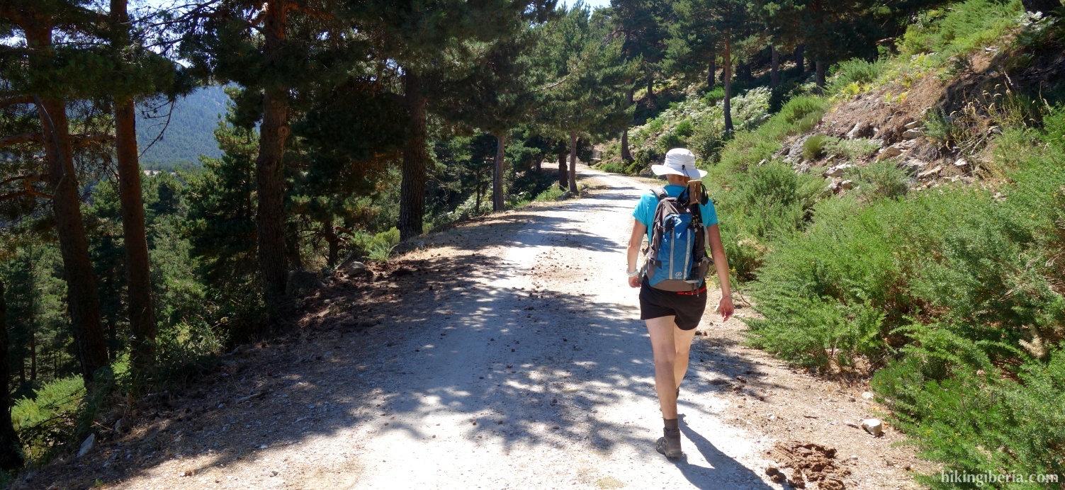
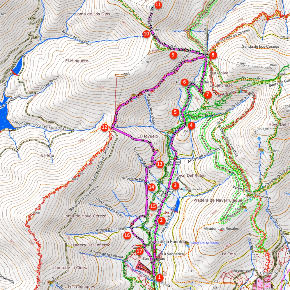
- From the visitor centre (1) we walk 1.5 kilometres along the asphalt road to get to the Casa Cirilo (2). From here we walk a bit further down the asphalt road until we get at a barrier (3). We follow the partially paved/partially dirt road behind this barrier.
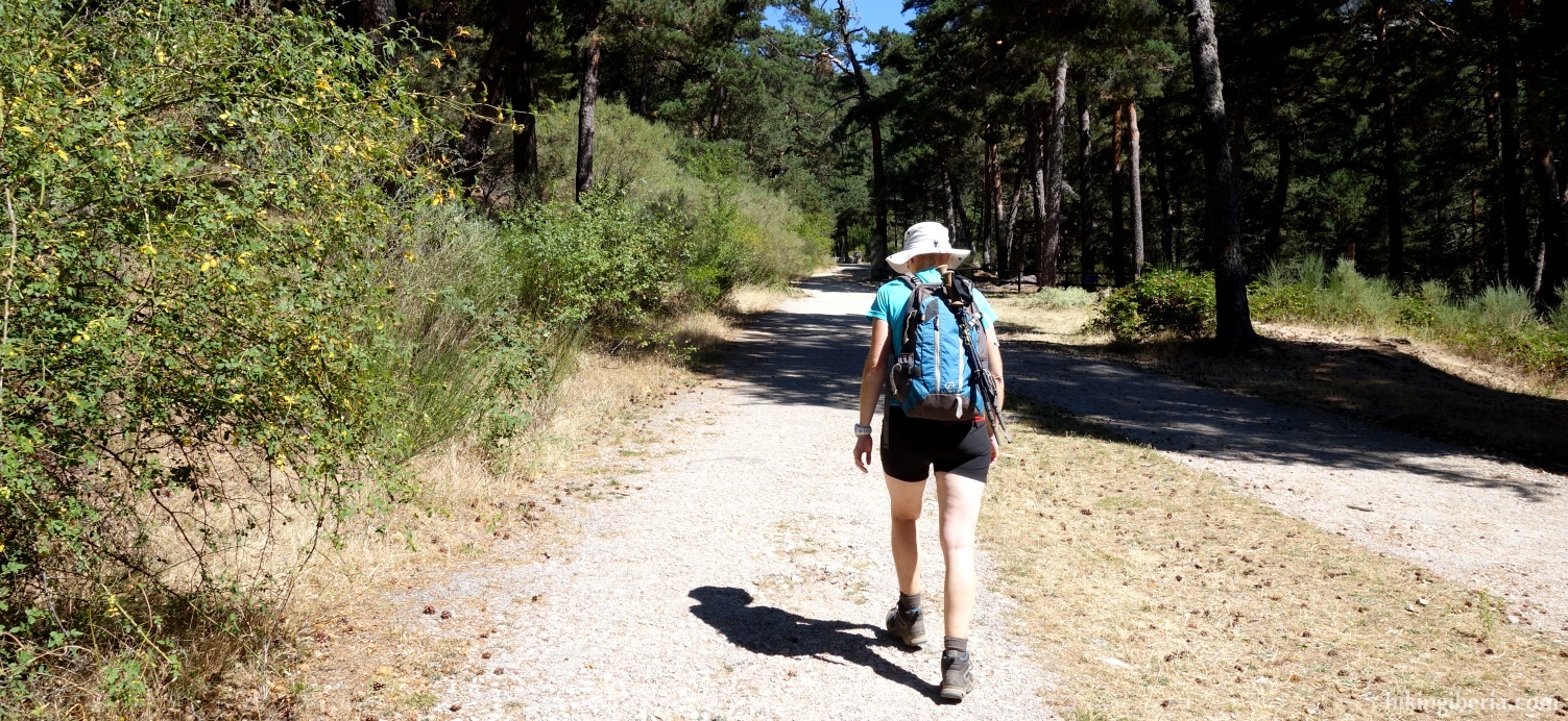
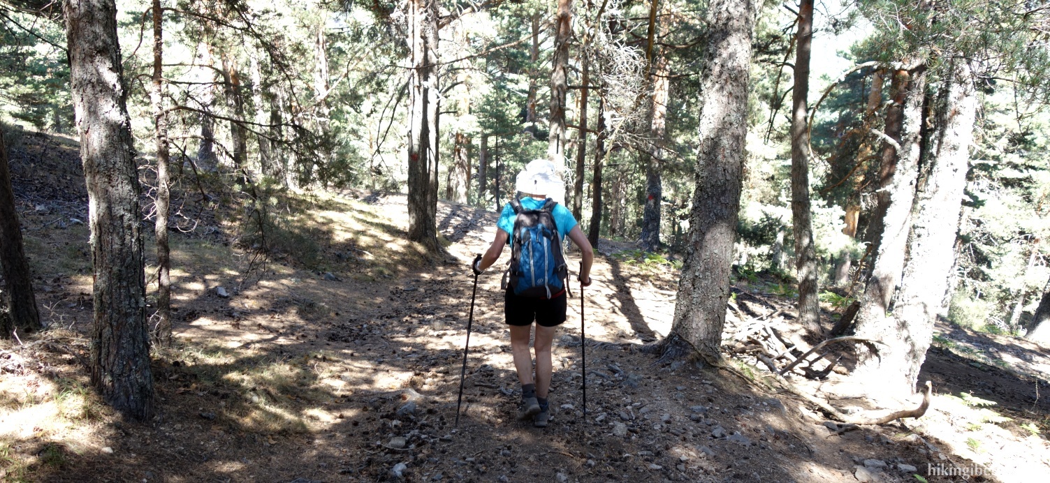
- After we have walked for a while on this broad Roman path, we reach an open space between the trees (4). Here we follow the yellow arrow, keep left in a slanting direction, cross the road and continue the slightly stony path on the other side of the road. A bit further on the marking becomes white-yellow.
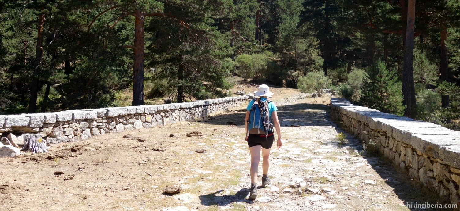
- After a short ascent, this path ends at a T-junction (5). Here we turn right and start a steep ascent. Through this path, we reach the bridge "Puente de Enmedio" (6). Here it is possible to continue straight on through a narrow trail, but the easiest is to cross the bridge and then further follow the path that in a bend turns left uphill (7). This path is marked with green dots.
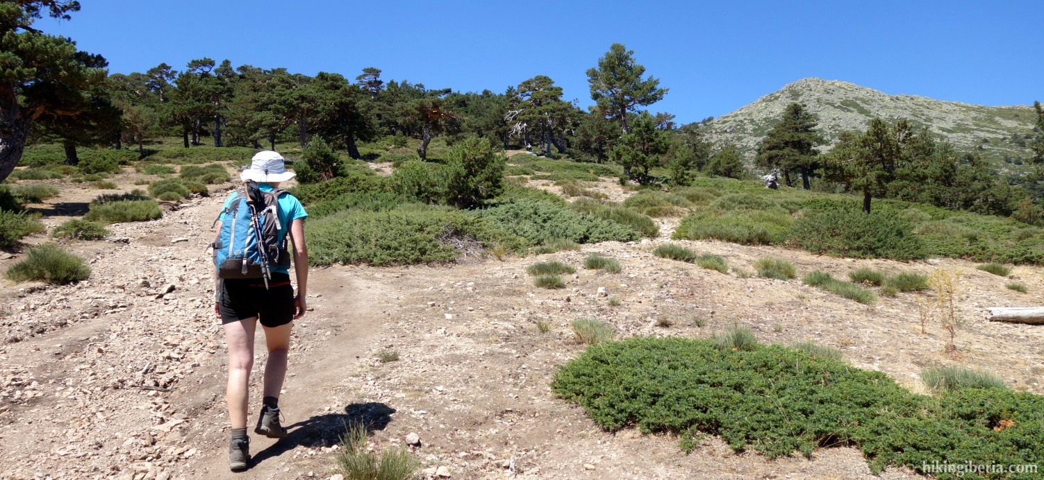
- This path finally ends at the Pass of Fuenfría (8). At this pass various roads and trails end, but we take none of the roads that are visible at first sight. We keep left, in a slanting direction upwards on the slope that we can discern on our left side and that will take us to the summit we can see: The Montón de Trigo.
- The path is regularly marked with milestones and runs relatively steeply towards the Cerro Minguete. Optionally we can walk via this top, but we follow the trail that goes on the right side below it (9) and which further takes us to the Montón de Trigo.
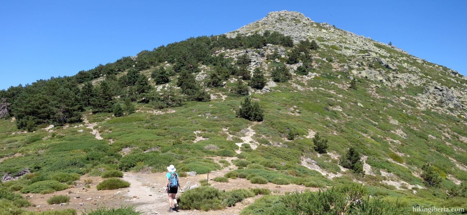
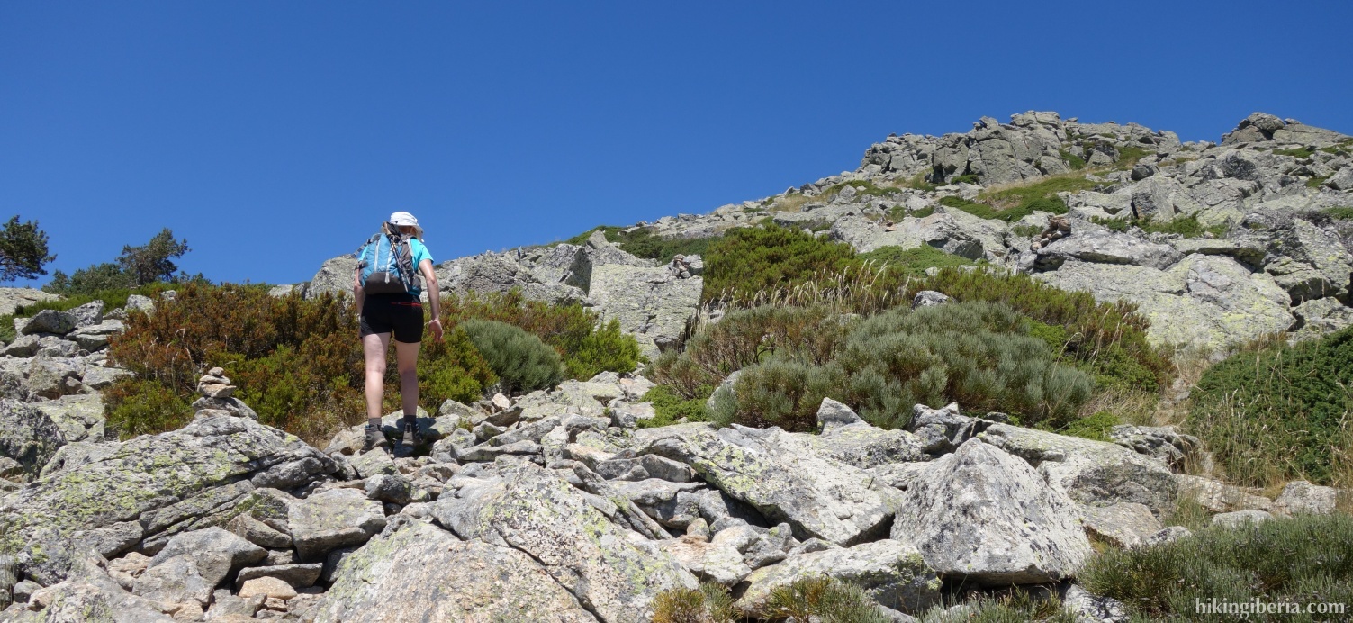
- Now we walk without too much difference in altitude until we have the slope of the Montón de Trigo on our right hand. Here runs a path, which is marked with milestones, further straight on, but we turn right, steeply uphill (10). If we watch cautiously we can see the milestones of this trail lying on the slope.
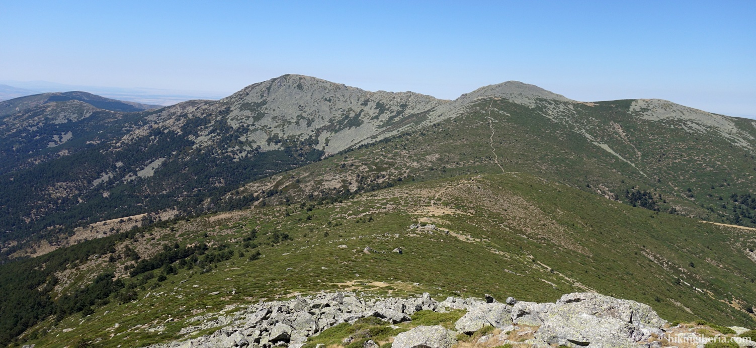
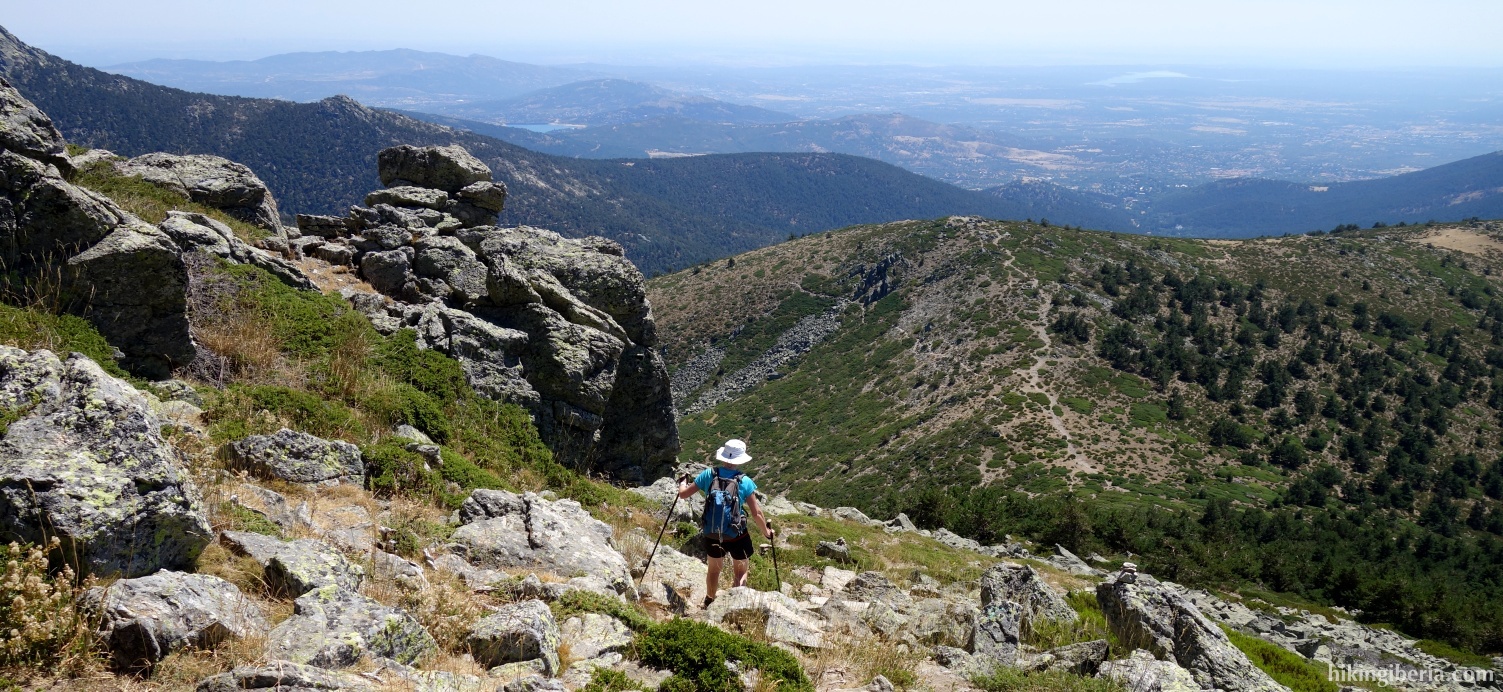
- Now a heavy descent awaits us, the last part over rocks, until the summit of the Montón de Trigo (11).
- From the peak we follow the same path back to the Pass of Fuenfría (8). From the pass we follow the white-red marks of the GR-10, to the left via the dirt road (Vereda del Infante).
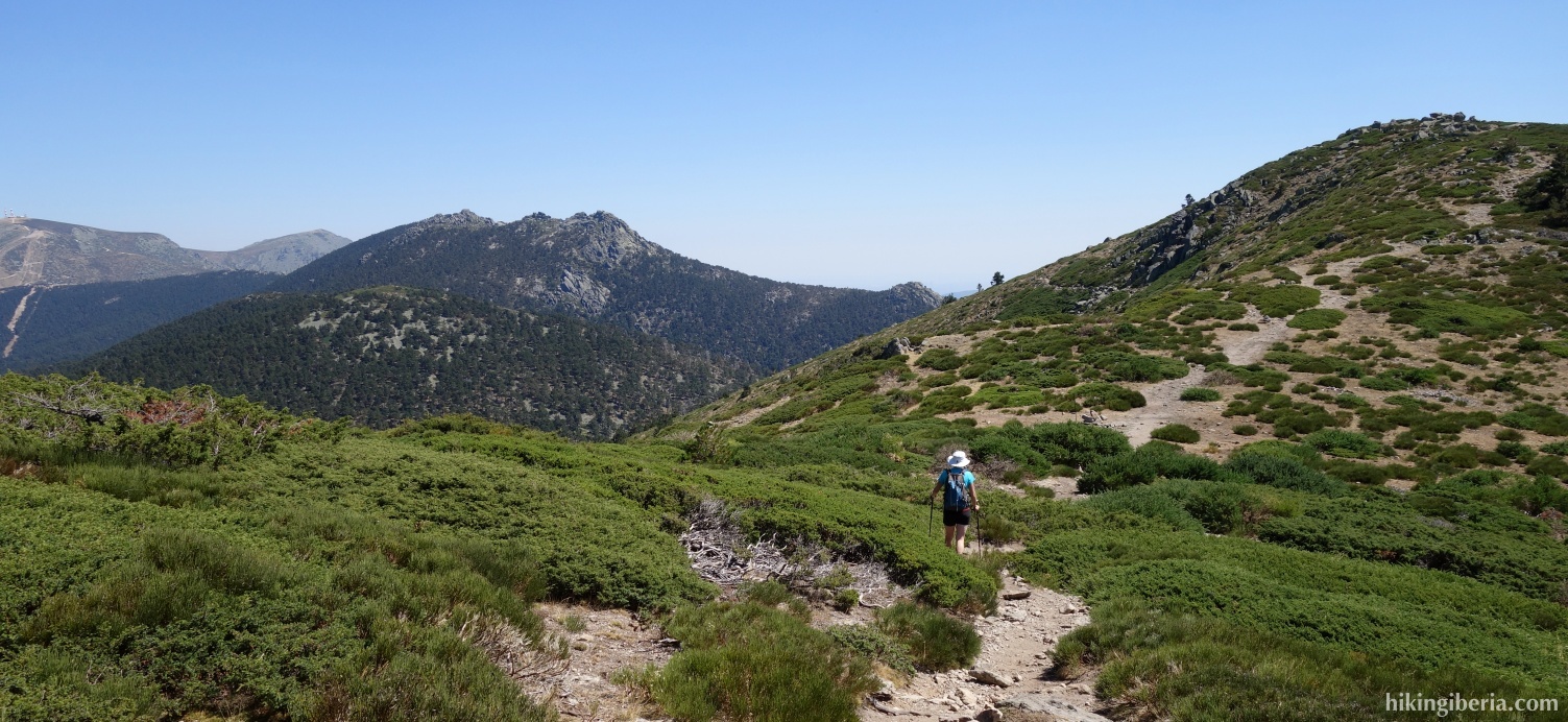
- We follow the dirt road for half an hour, until we reach the Collado de Marichiva (12), recognizable by a wall and fence to the right with a path that goes up to the Peña del Holcón. We, however, leave the dirt road on the left side, onto a trail that goes downhill.
- In about 20 minutos we reach a fork (13) where we continue to the right, following the red dots. On this stretch we also see white-yellow markings. About 10 minutes later (14) we see several trails and go straight ahead, following the marks and crossing a stream.
- About 5-10 minutes later we arrive at a house (15). We pass the house on the left by a pedestrian gate. Then we turn right, following the red dots and passing another gate, following the trail through the forest. About 10 minutes later we see several trails (16). We ignore a trail to the left, and then we turn left, following the red dots.
- In 5 minutes we arrive at the hospital of La Fuenfría (17). We walk a few meters along the road and next to the bus shelter we continue onto the trail on the left, still following the red dots. This last stretch takes us back to the visitor centre (1).