NL
NL  IT
IT  DE
DE  ES
ES  EN
EN 
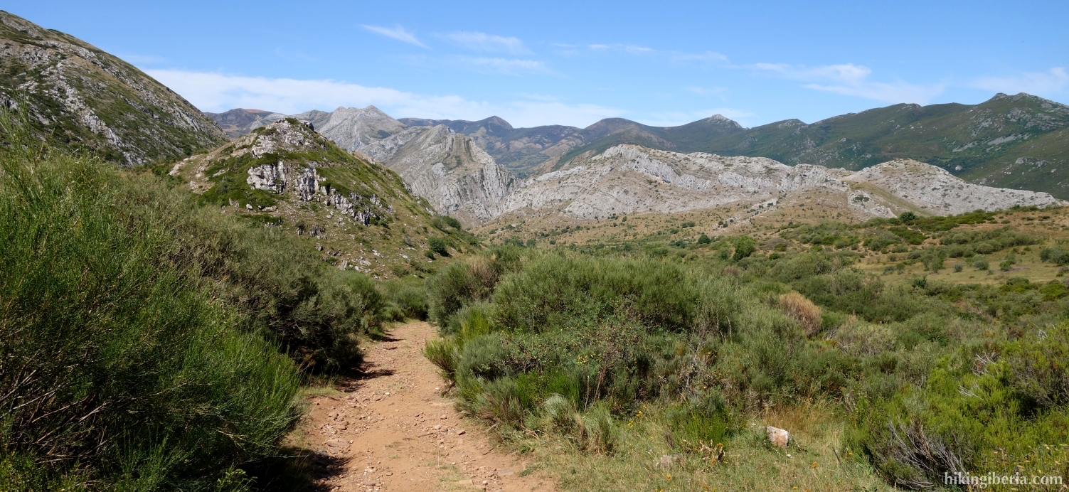
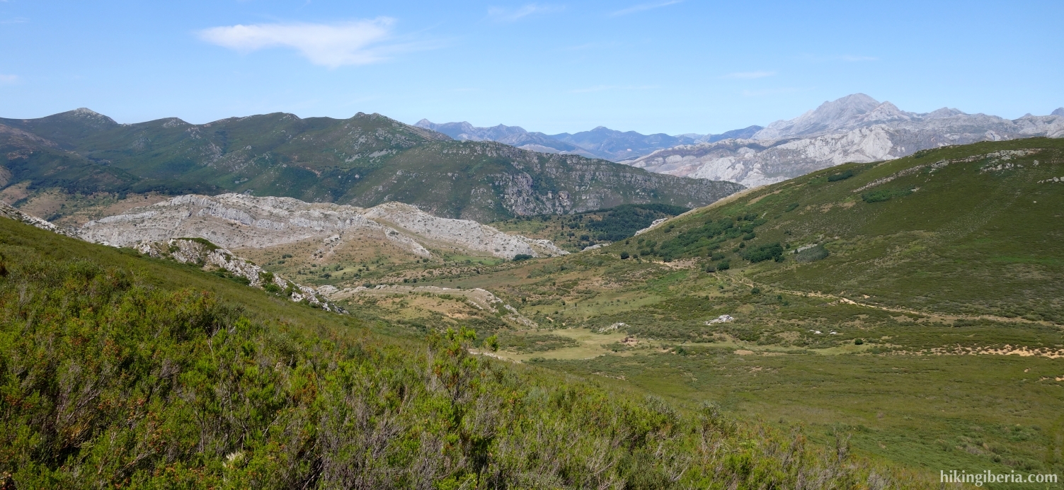
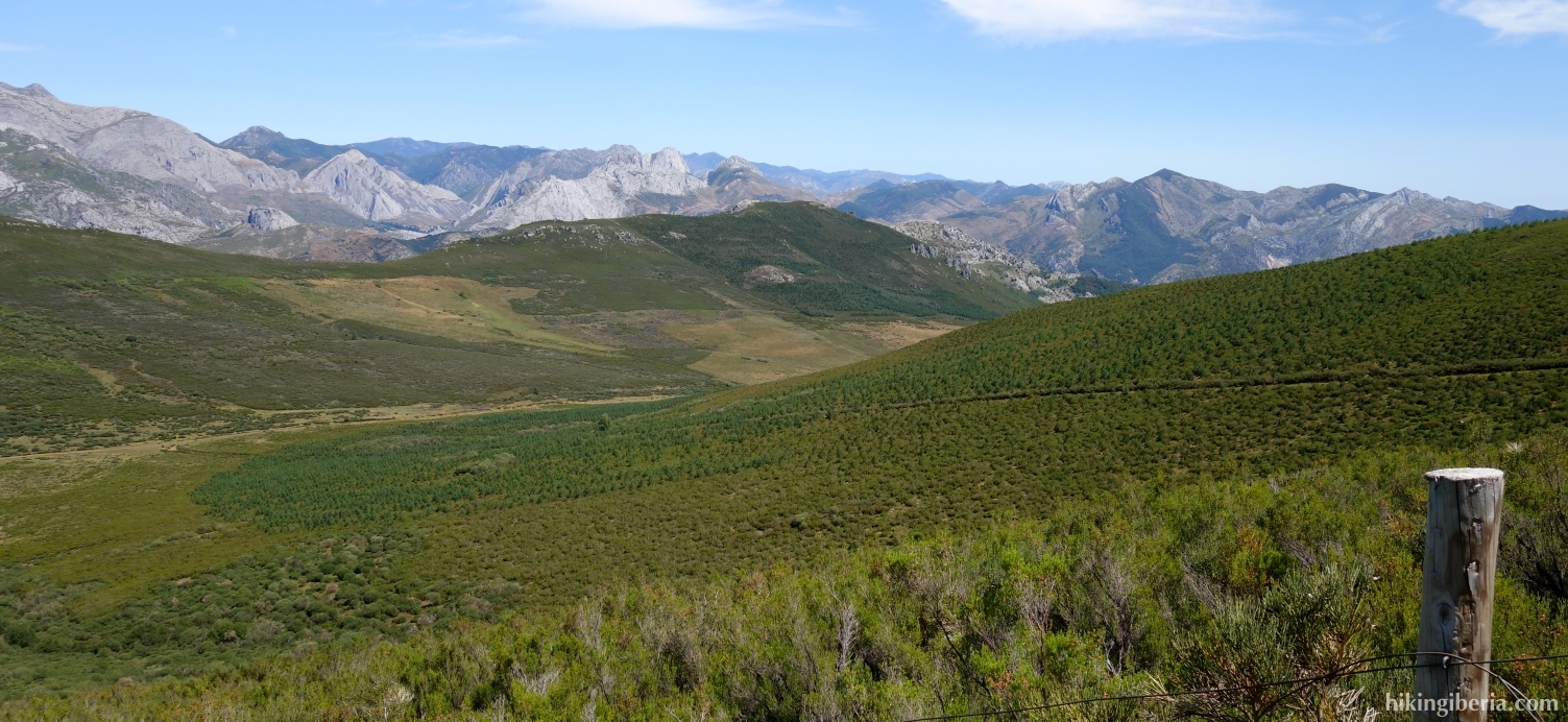
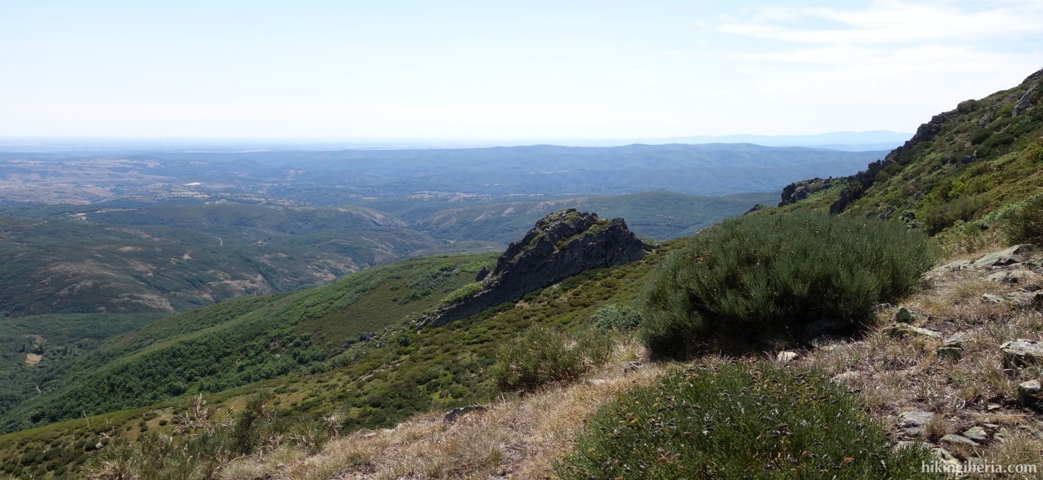
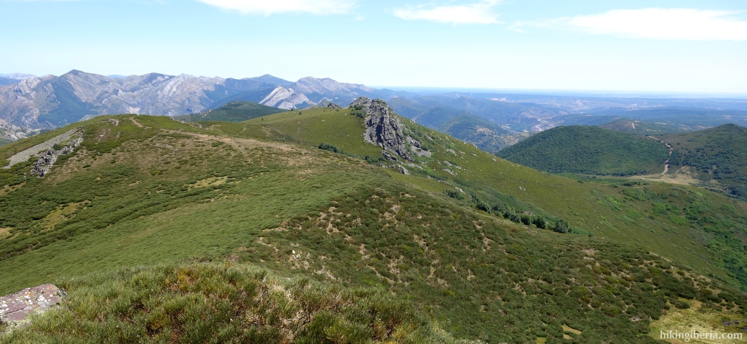
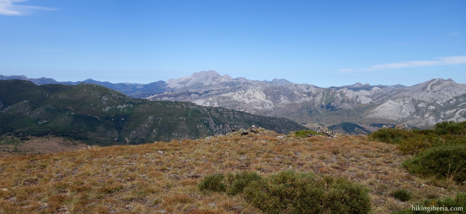
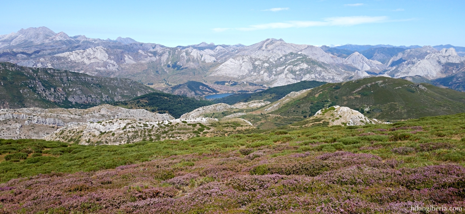
During this hike we visit two peaks on the south side of the Cordillera Cantábrica in León: the Peña Blanca and La Filera. From the peaks we have a far view over the plain of Castile and towards the north the peaks of the Cordillera Cantábrica. Because there is no a clear trail on especially the second part of the hike and the abundant vegetation, the hike is relatively arduous and the orientation without GPS is not recommended.
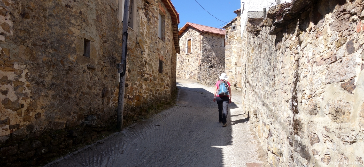
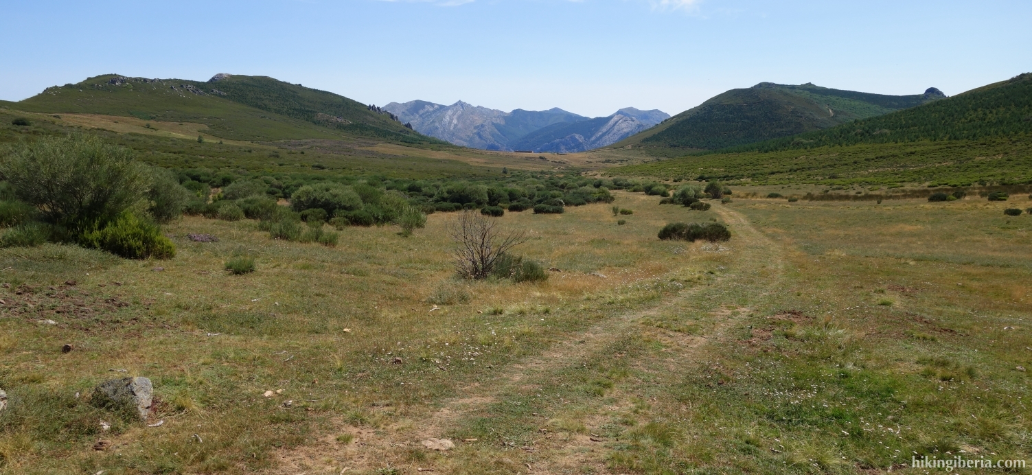
- Walk into the Calle Real (1) further out of the village and turn left in the village (2) into the Calle de la Fuente. Through this street we walk out of the village onto a wide path (Camino de Abelgas a Mallo).
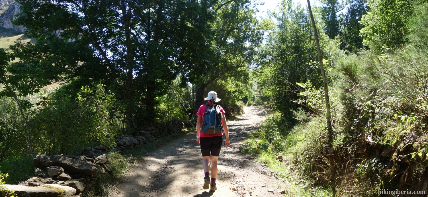
- After about 15 minutes we ignore a path on the right (3) and stay on the wide path, marked as the BTT-05 with poles with yellow arrows.
- After about 25 minutes we arrive at a fork (4) where we go straight ahead, still on the BTT-05. Ten minutes later we ignore a path to the right (5) and go straight ahead.
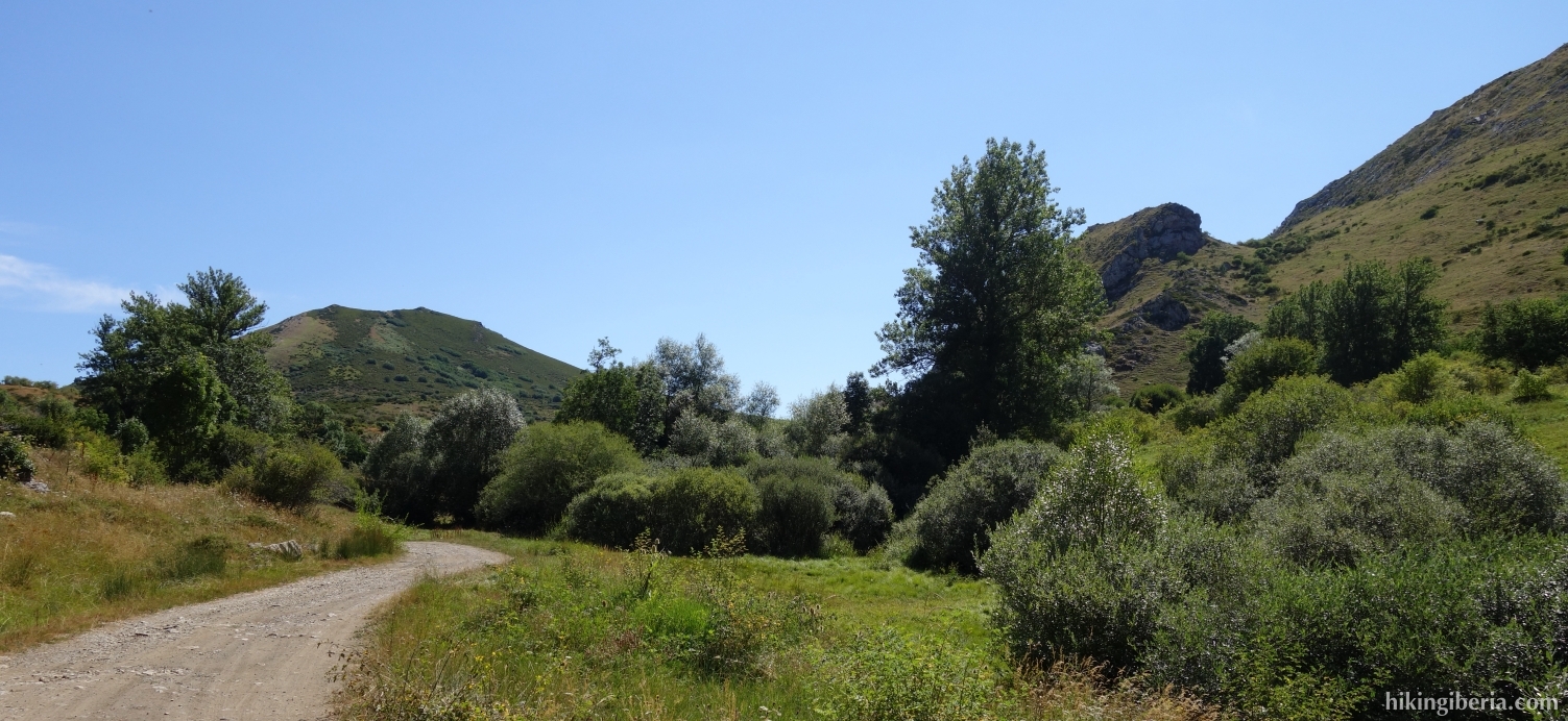
- About ten minutes later we see a sign with the end of the BTT-05 (6). Here we turn right and walk without a clear trail parallel to a barbed wire. This is a tough climb, partly because there is no clear trail. This takes us to a ridge. If you walk straight ahead here, you will automatically come across a wide path (7), where we turn right.
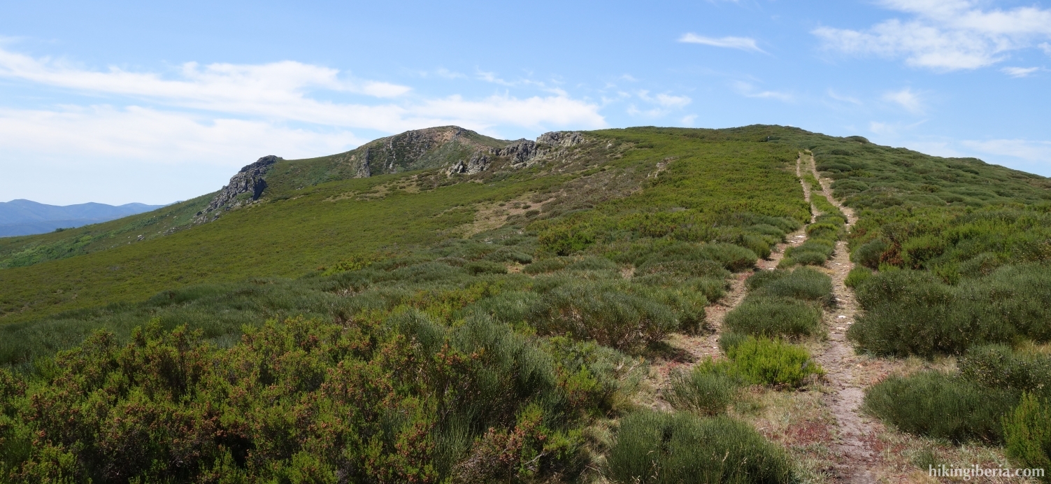
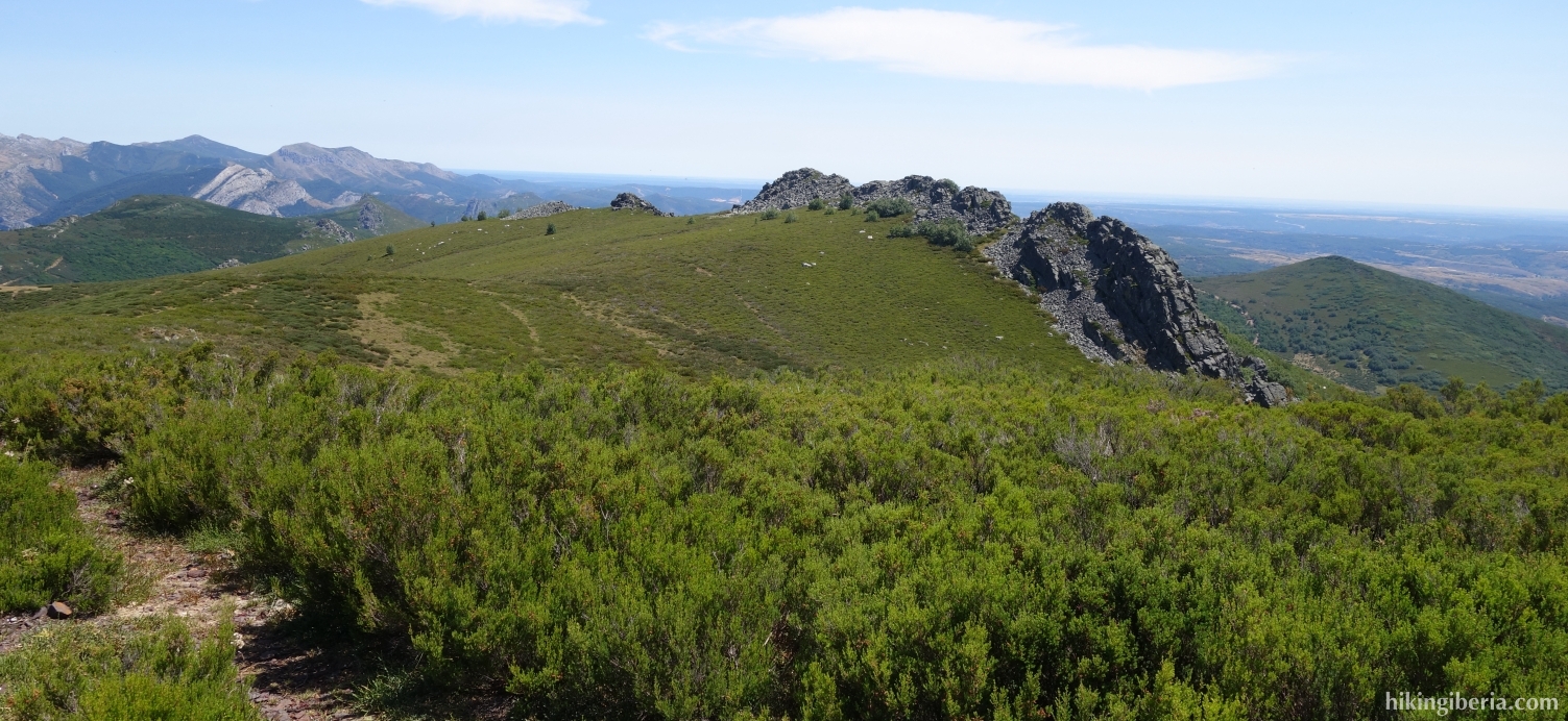
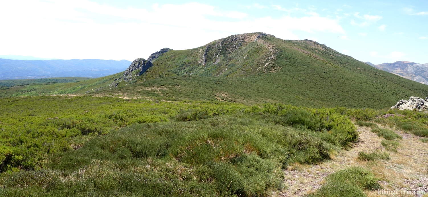
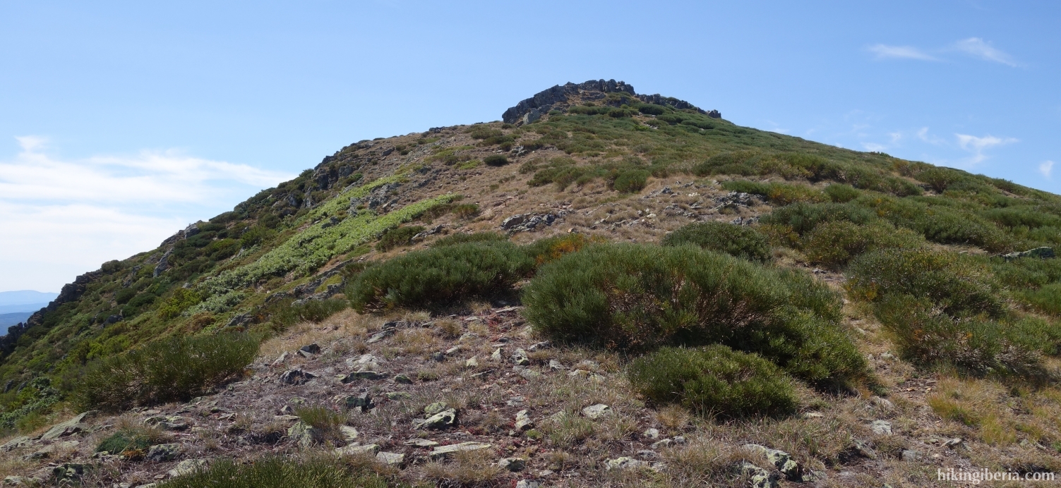
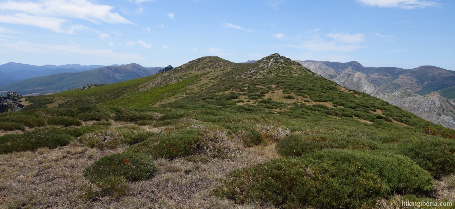
- This trail takes us to the first summit, the Peña Blanca (8), in less than 10 minutes. From here we follow a trail that follows the course of the ridge towards the top of La Filera. The trail is occasionally somewhat overgrown but generally easy to follow. In this way in about half an hour we arrive at La Filera (9).
- From the top we descend to the north-east without a clear trail and with solid vegetation. Far ahead of us we see the reservoir of Barrios de Luna and in fact have to walk in the direction of the reservoir to go in the right direction.
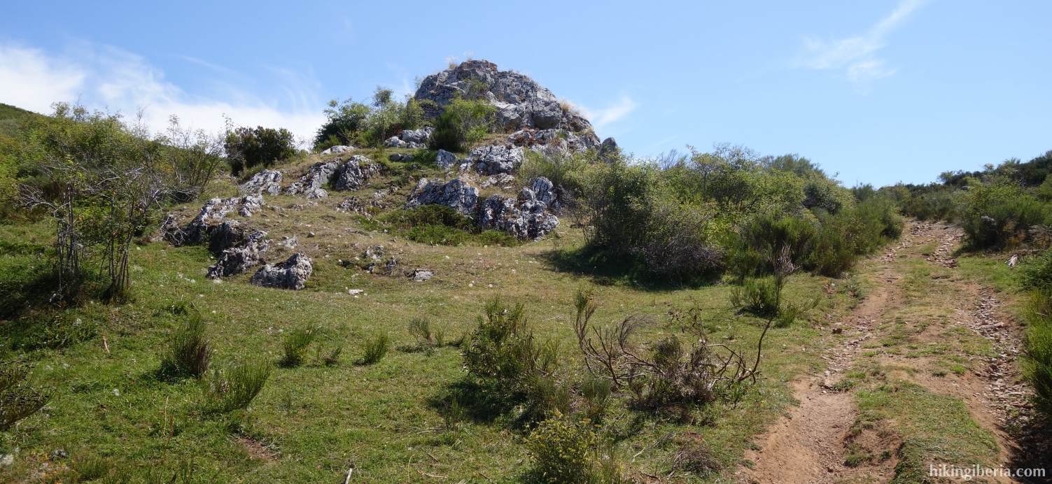
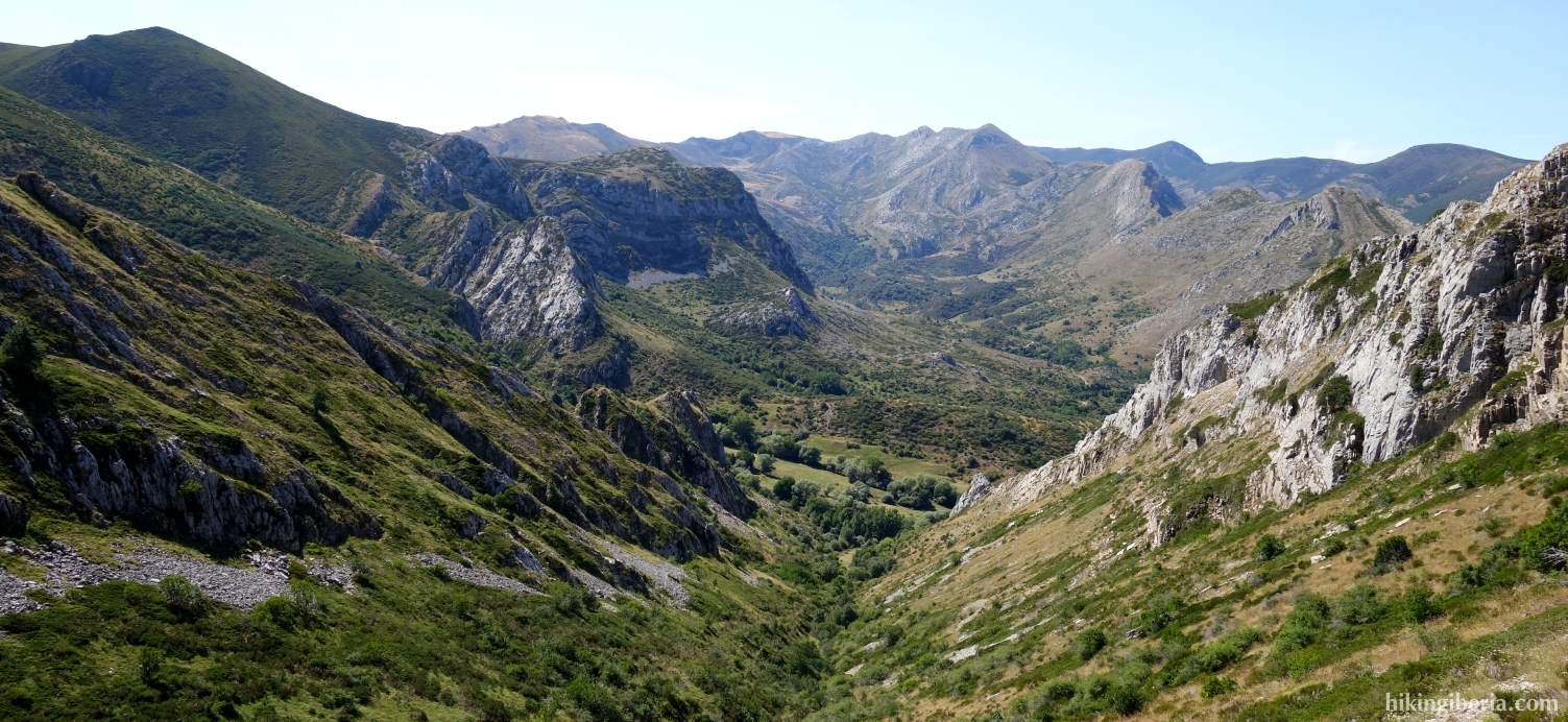
- After about 40 minutes we see a wide path in front of us in the valley and to our left a large rock (10). Keep to the left in a northwesterly direction, along the rock on the left side.
- Here we occasionally we walk on a trail, occasionally without it. Make sure that you eventually descend towards the stream, the Vertiente de la Filera.
- After about an hour of finding our way more or less along the stream, we turn right to the north along a rock (11). Here we quickly find trail near a a fence. In comparison to the last hour this is a comfortable trail, although occasionally a bit overgrown.
- Through this path we walk back in about 10-15 minutes to the wide path (12) on which we already were on the way out and of course turn left and walk back to Abelgas (1).