NL
NL  IT
IT  DE
DE  ES
ES  EN
EN 
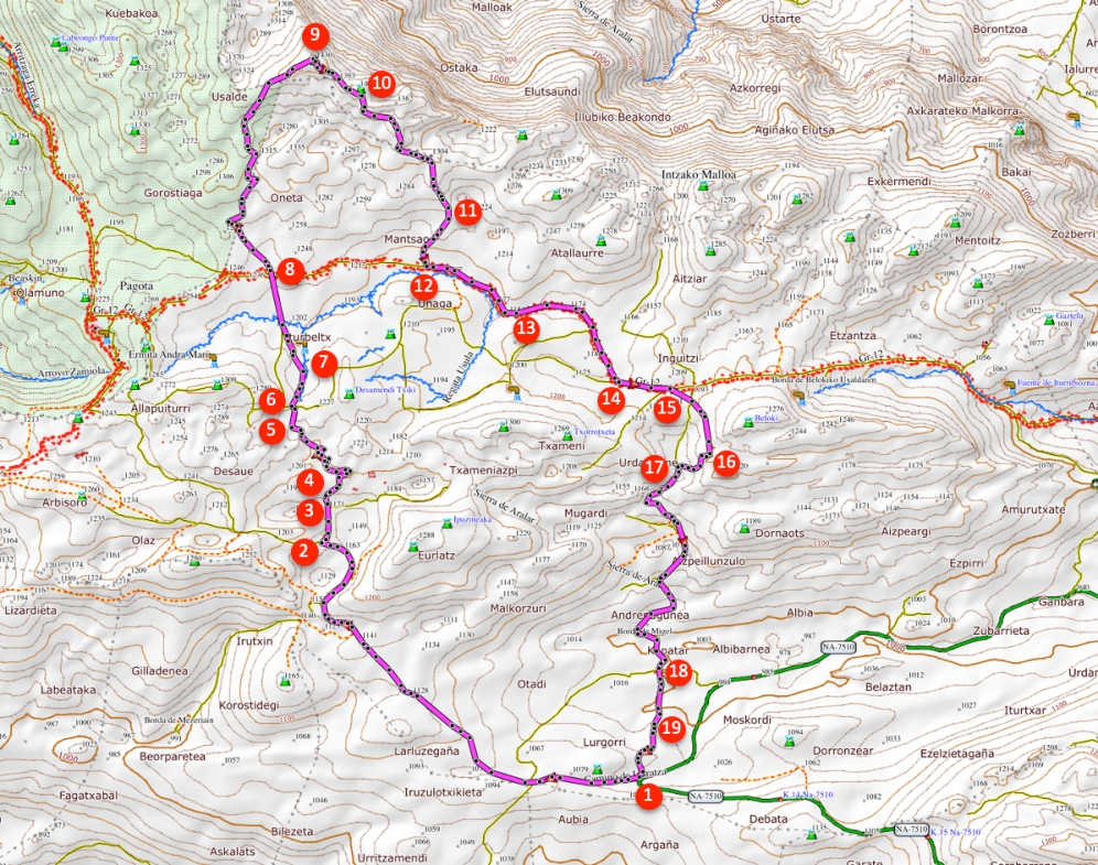
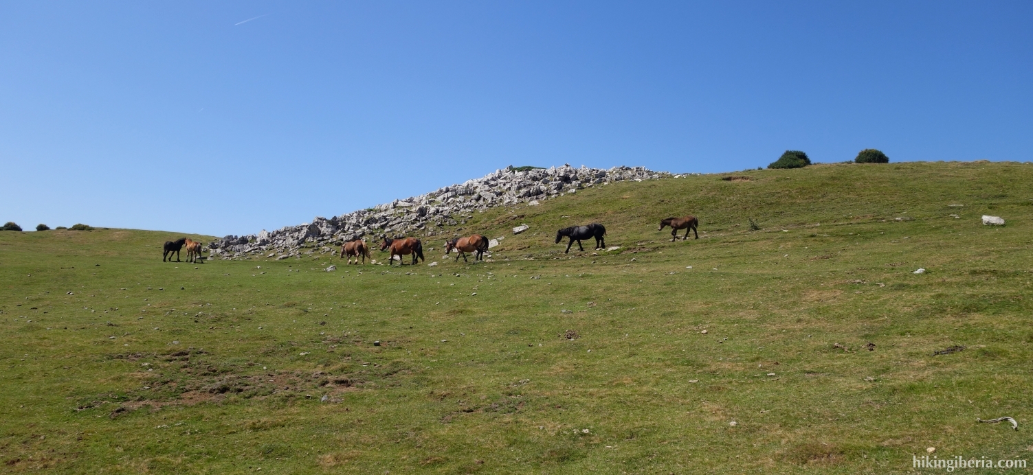
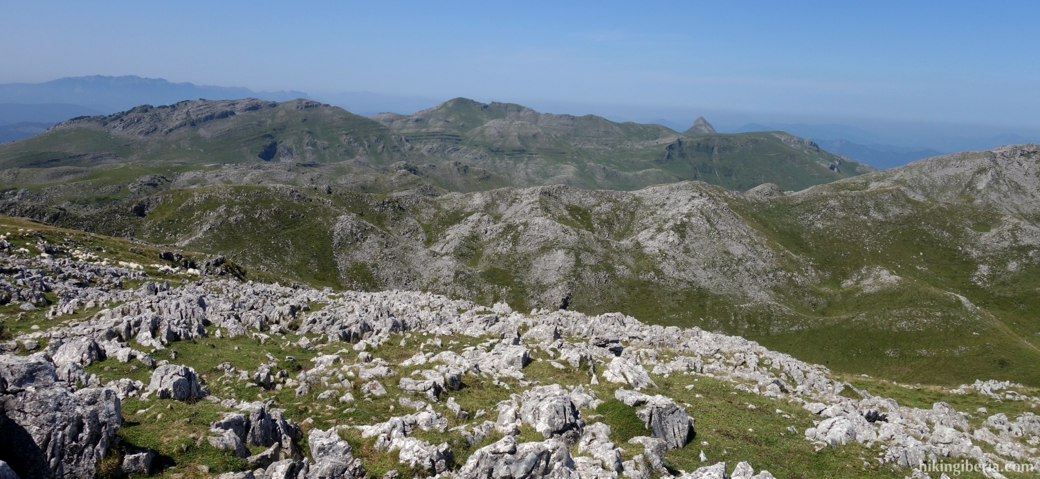
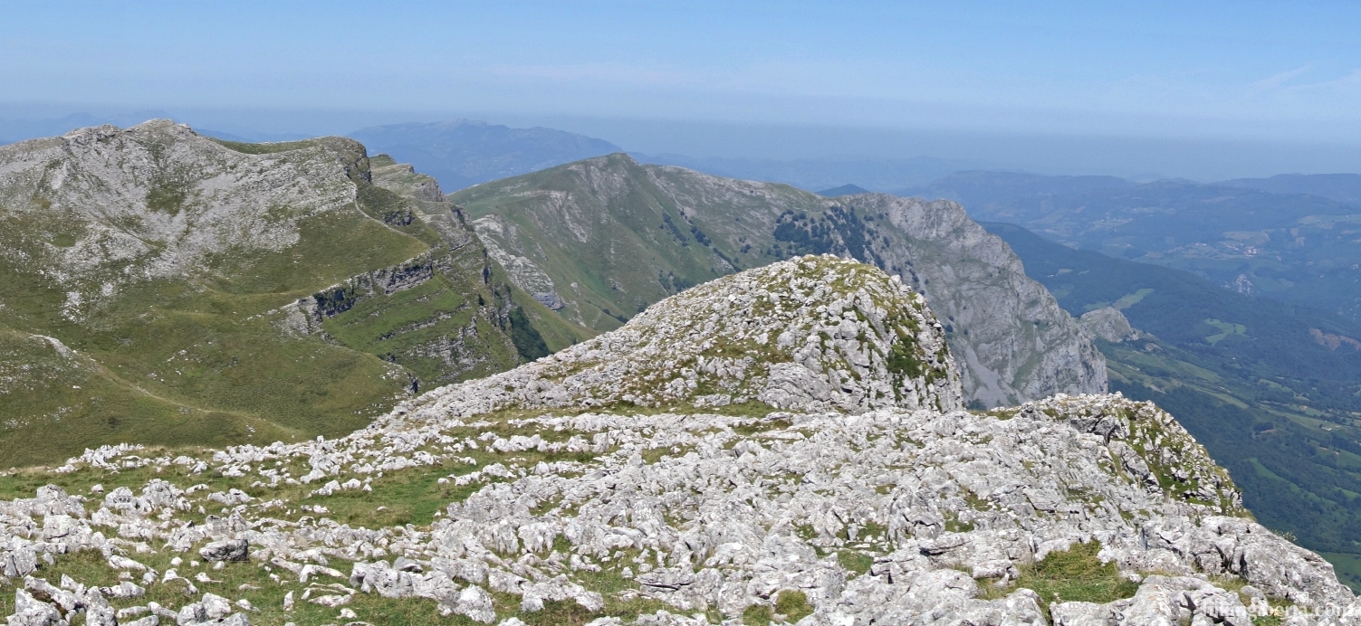
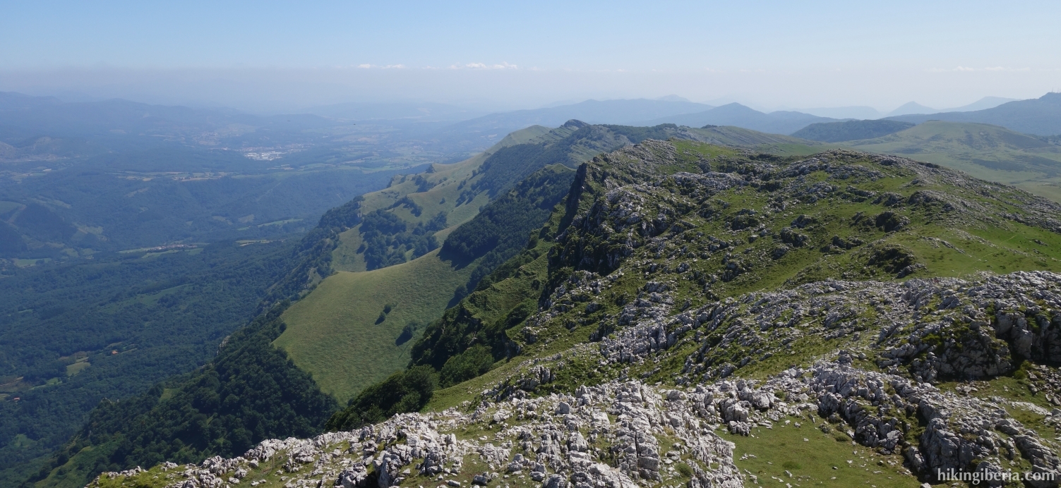
At 1,430 metres, Sollazbizkargaña is the highest peak of the Sierra de Aralar and the second peak of Navarre, after the Beriain. The summit is on the border with the Basque province of Guipúzcoa. On the roof of the Sierra de Aralar we have fantastic views over the Basque Mountains and the hike to it is a popular classic.
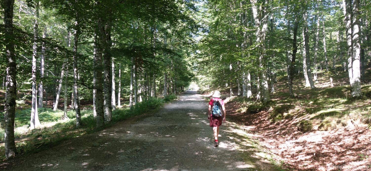
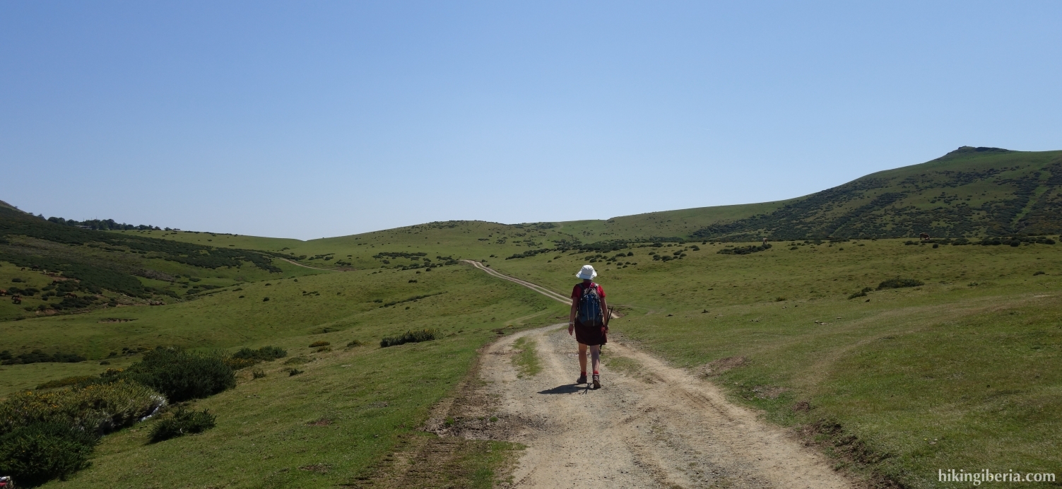
- Continue out of the Guardetxe car park (1) to the end, to a wide path behind a barrier, the Camino de Igaratza.
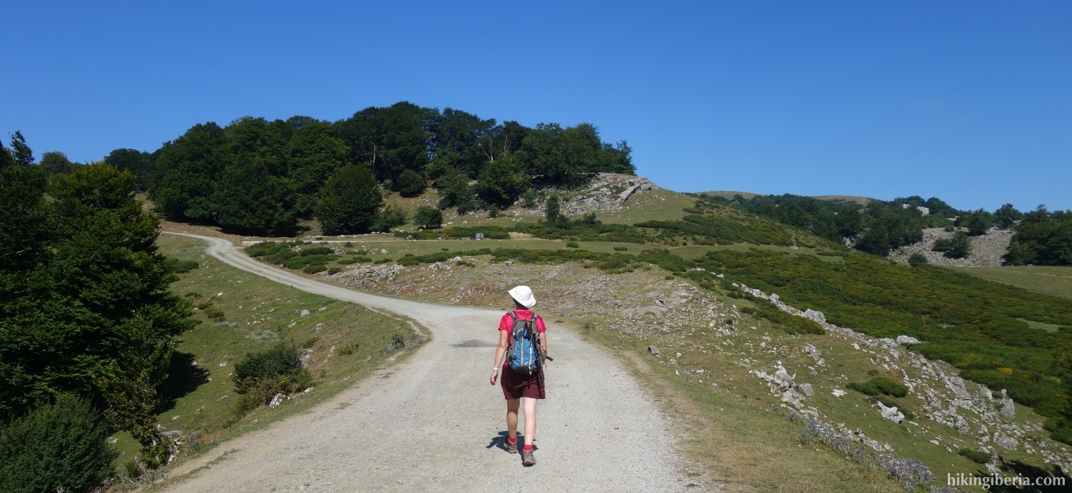
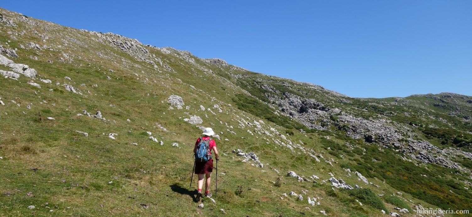
- After about 40 minutes we turn right over a flat area (Pagomari) behind which a wide path begins (2). A little further on the path turns to the right, but we go left / straight ahead onto a narrow path (3) near a number of rocks.
- After a short climb we turn right (4) and we soon see a white-yellow marking and a large arrow leading to the left. The orientation on this part is somewhat tricky and you can quickly go wrong; pay close attention to the orange stripes and red arrows. If you follow the markings correctly, after about twenty minutes you will arrive at a building (5) that you have to walk along towards the north.
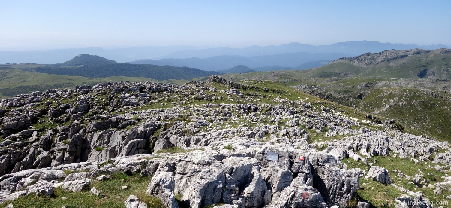
- A little further on at the Y-junction keep right and further on at the post of route 33 (6) cross the other path and go straight on. A little further, at the fork of various paths (7), we keep left.
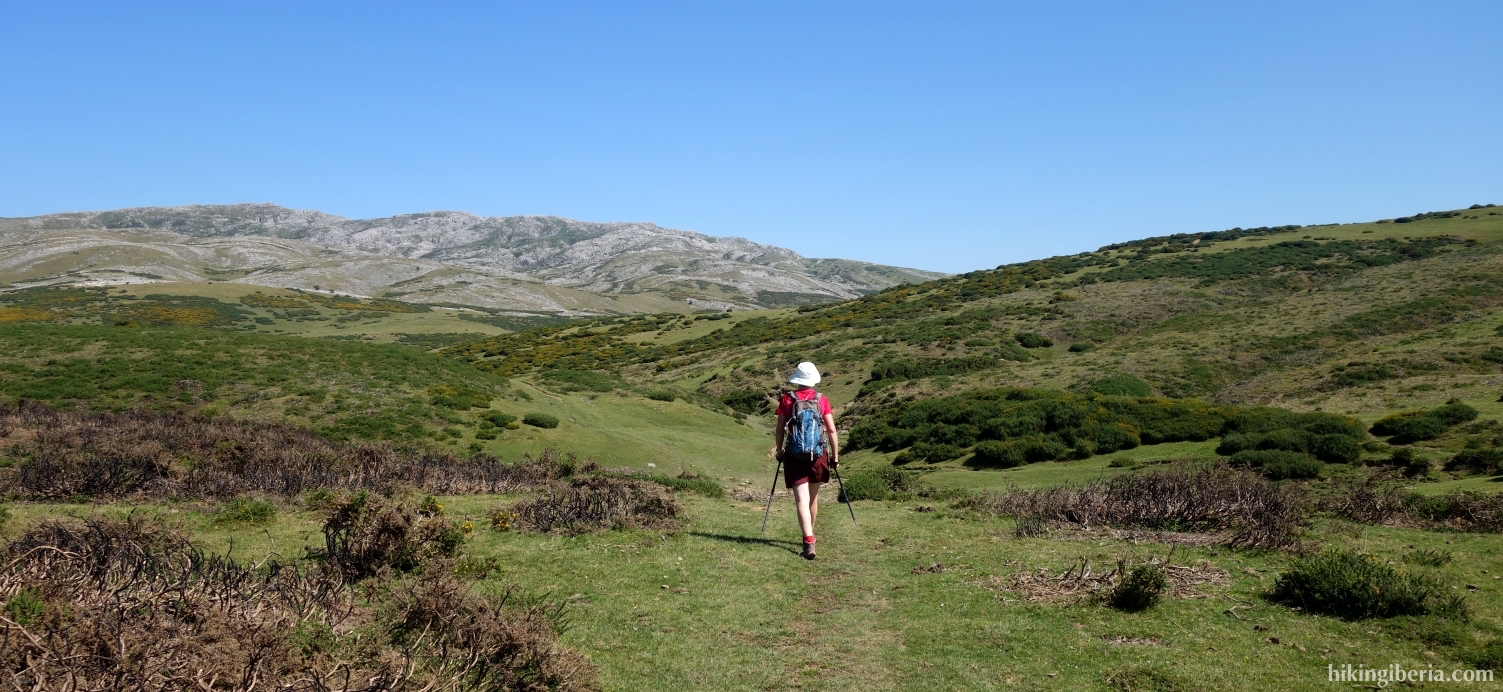
- There is not always a clear path, but we again find a pole of route 33. After ten minutes we cross another path (8) and we go straight ahead, following the markings (poles and white-yellow).
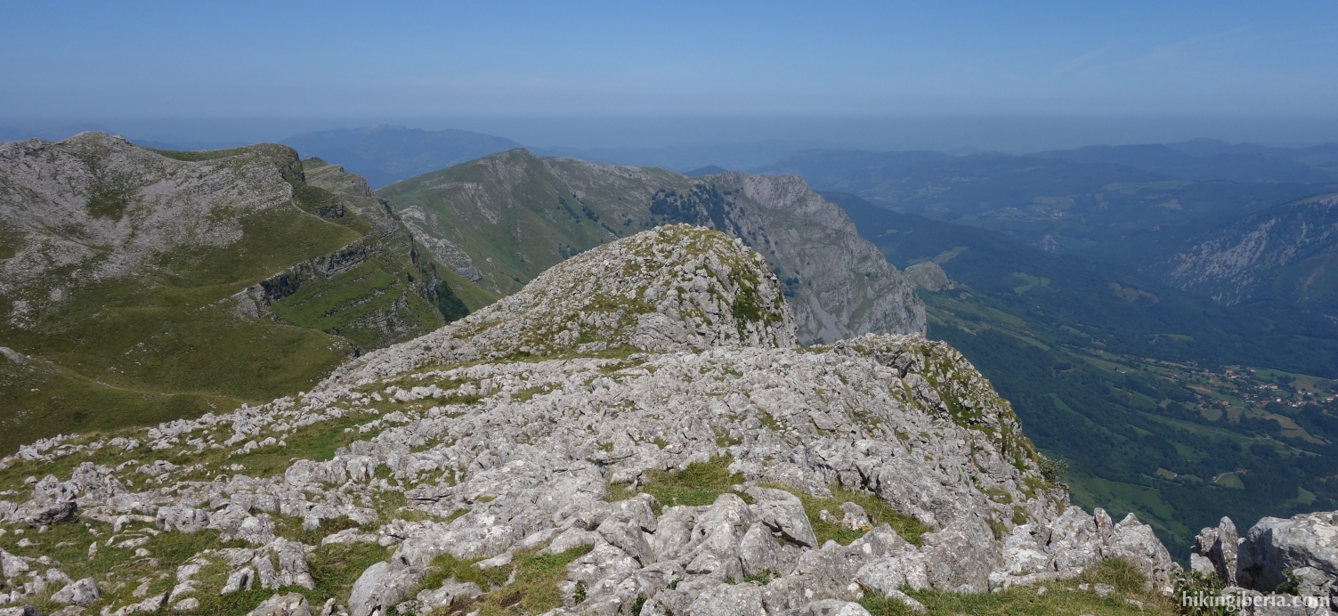
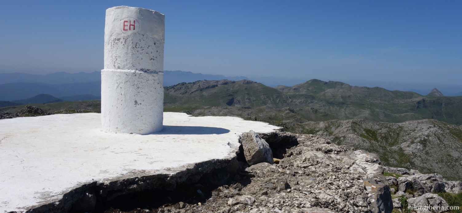
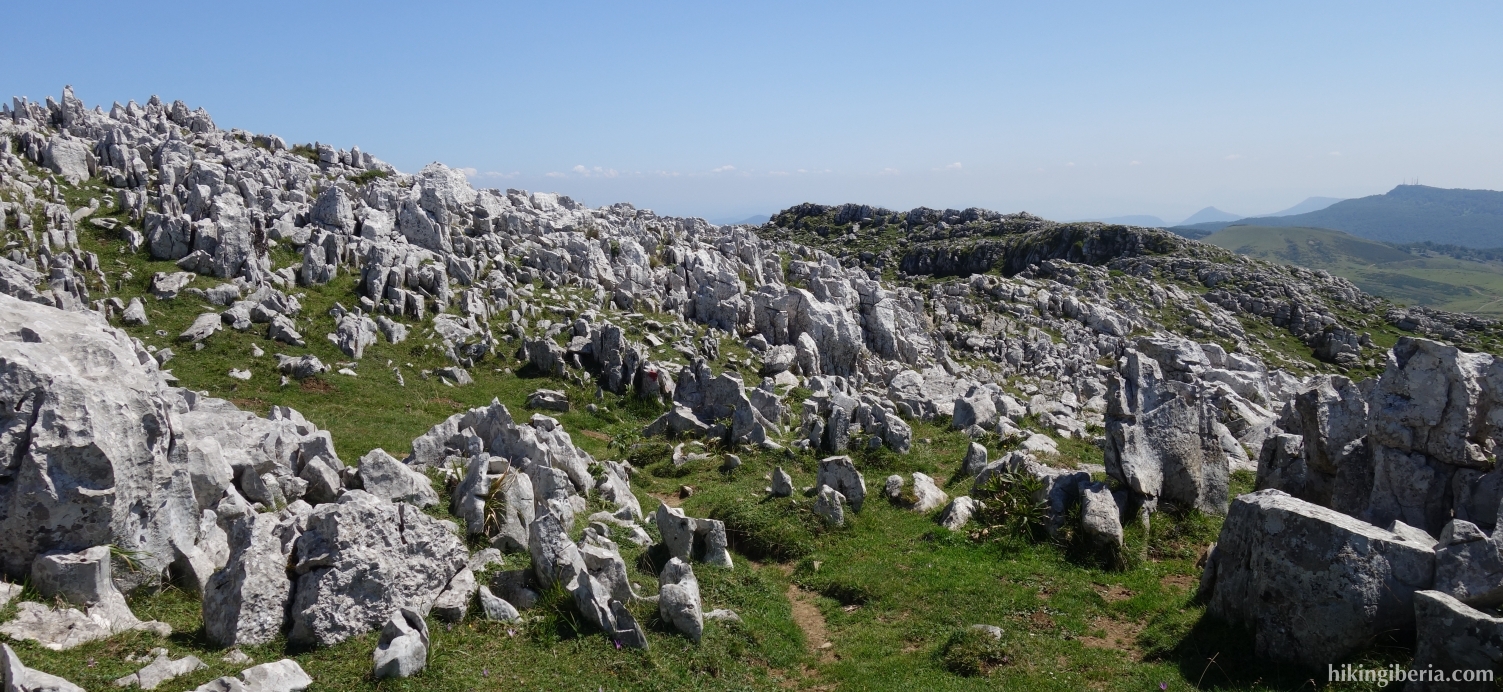
- Via this path we eventually reach the top of the Sollazbirkargaña (9). From the top we continue the route over the ridge and pass the small peak of Beldarri (10). We continue following the marking with red dots.
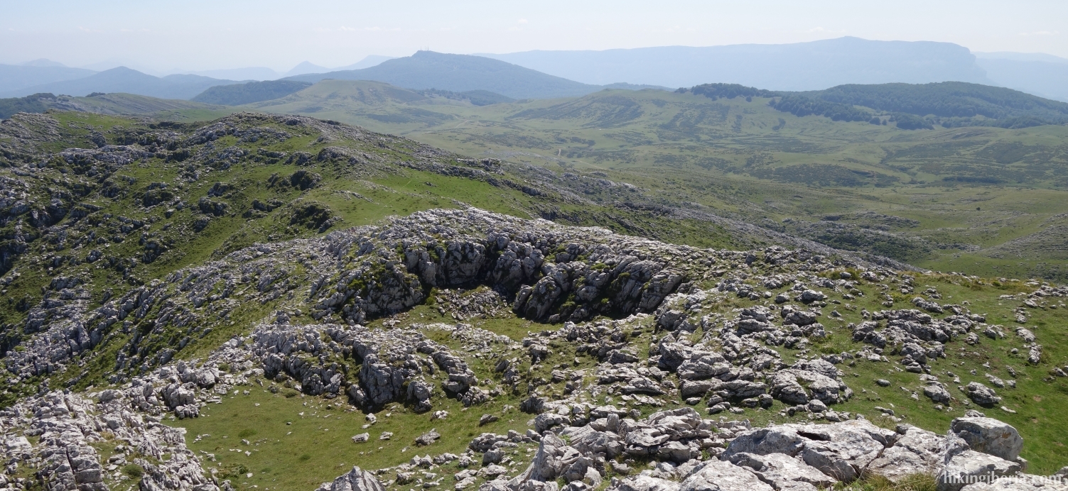
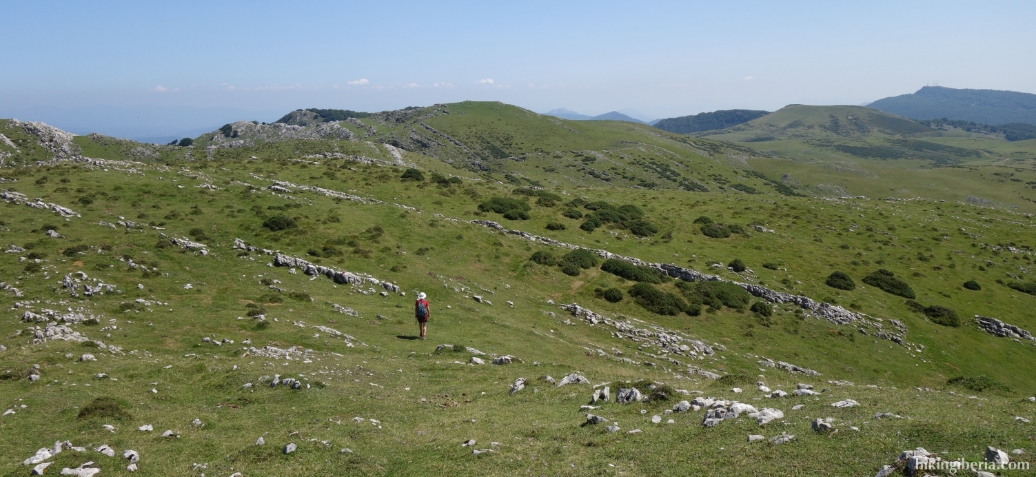
- We descend further and see the dirt road below in front of us. Keep slightly left (11) and continue to the dirt road. Once on the dirt road, turn left (12).
- We follow the dirt road and after fifteen minutes we pass the Pozo de Unaga (13). After ten minutes a path splits off on the right, but we stay on the GR-12 (14). A little further on we first cross another path and then we continue to the right, to another wide path (15).
- After about five minutes, the wide trail ends (16) and we turn right off the slope, without a clear path. Below we see a path to which we walk and where we continue the route to the left (17).
- We now follow the red dots again and at a certain point it changes into a wide path through the forest that we follow for quite some time until a T-junction (18), where we turn left.
- Further on we ignore the path on the left (19) and we walk back to the NA-7510 and then right to the Guardetxe parking lot (1).