NL
NL  IT
IT  DE
DE  ES
ES  EN
EN 
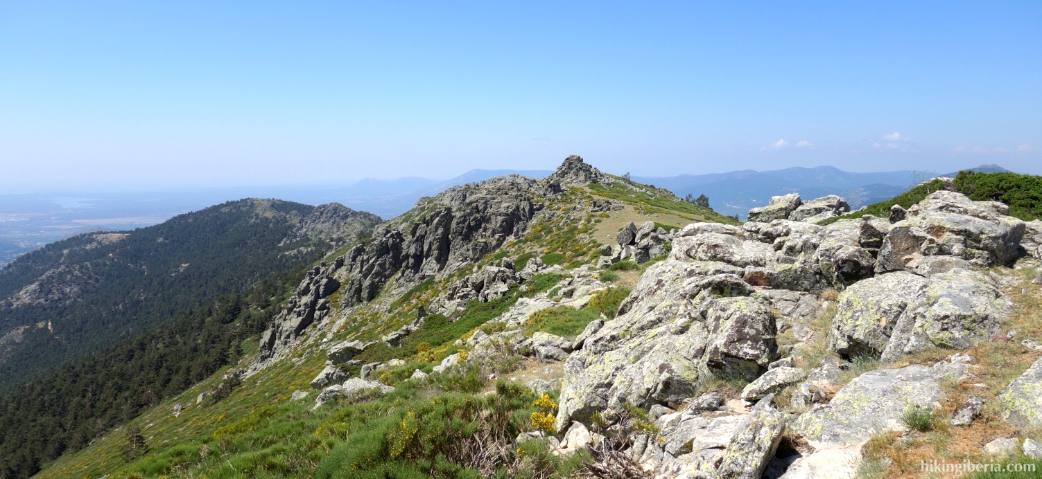
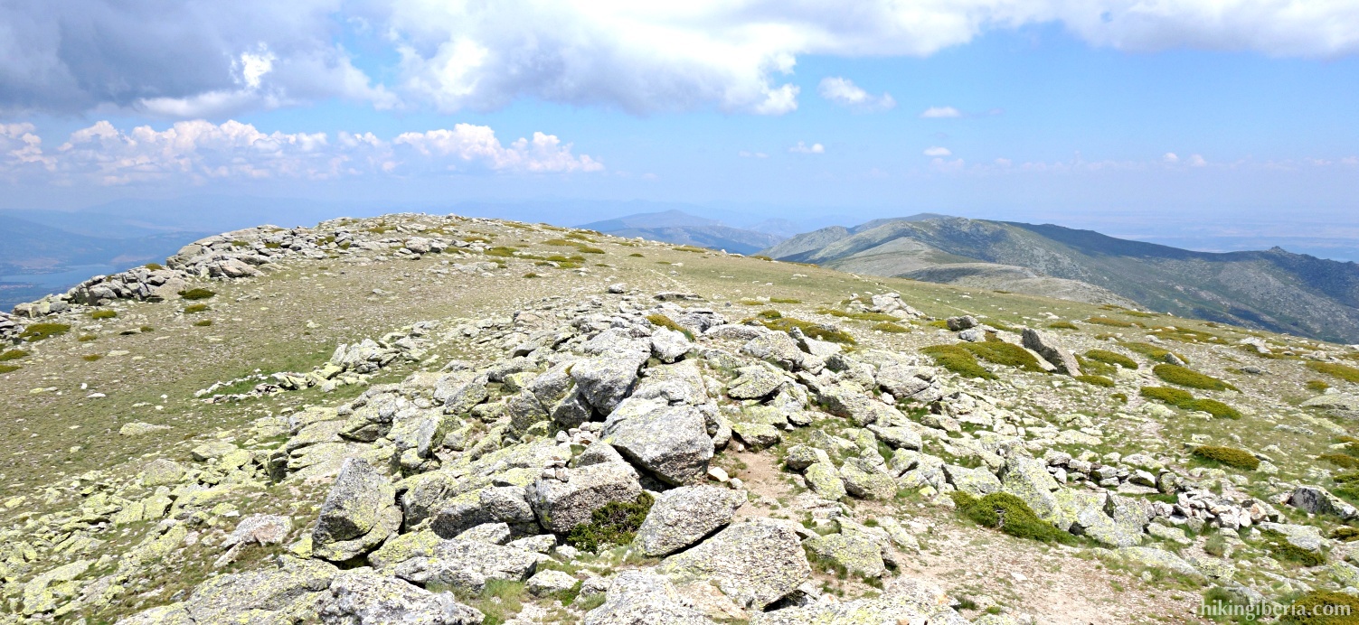
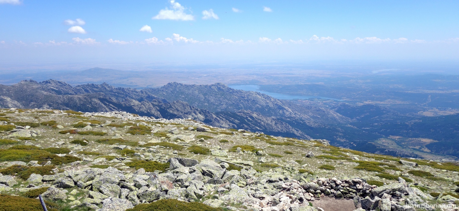
The Cuerda Larga is an important branch of the Sierra de Guadarrama and one of the highest elevations of the Sierra de Guadarrama, because over a great length it has an altitude of over 2,100 metres. Therefore from this ridge during a large part of the hike we have a splendid view towards both the south and the north of the Sierra de Guadarrama. The hike ends at the Cabeza de Hierro Mayor, that with its 2,383 metres is the highest peak of the Cuerda Larga and the second summit in Madrid, after Peñalara.

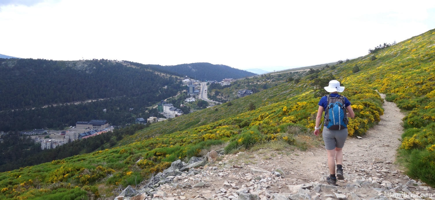
- From the car park (1) at the Puerto de Navacerrada we walk back a bit towards the M-601. Still before we arrive at the road and some buildings of the ski resort, we turn left onto an asphalt road (2).
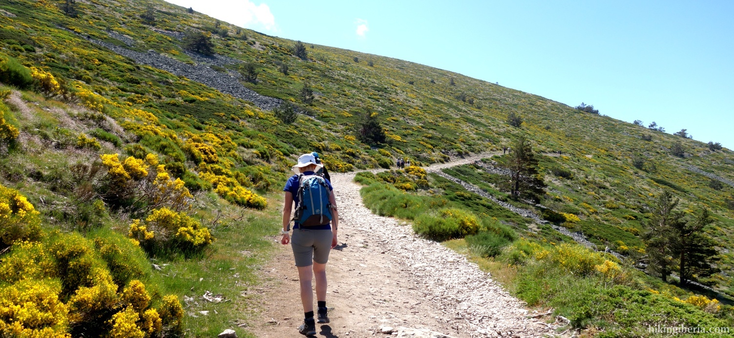
- This road behind a gate quickly turns into an unpaved dirt path that we follow all the time and which is marked white-yellow.
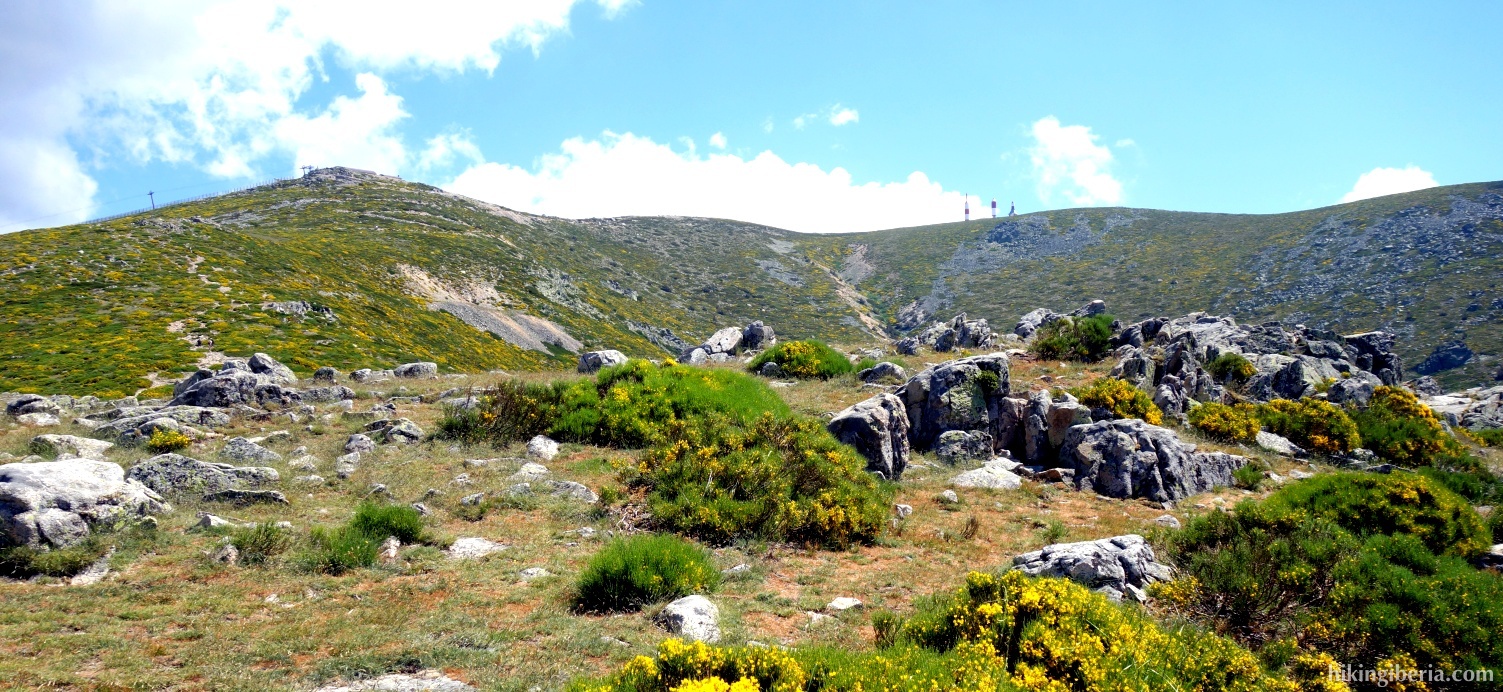
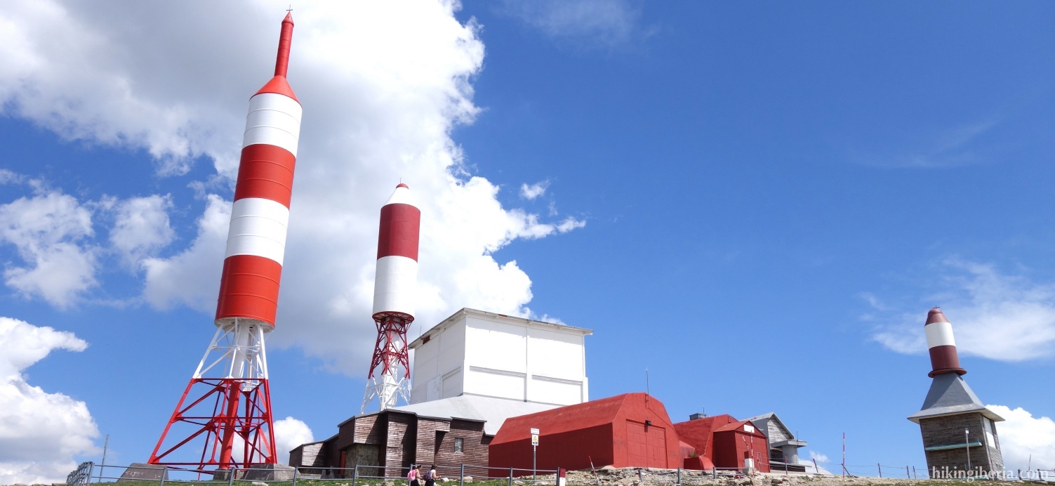
- When at some point we have the antennas of the Bola del Mundo on our left hand, the path turns to the left (3).
- Through this trail we arrive at a paved road where we turn right (4). Soon we follow this road and the white-yellow marking in the bend to the left and thus ignore the fork to the right (5).
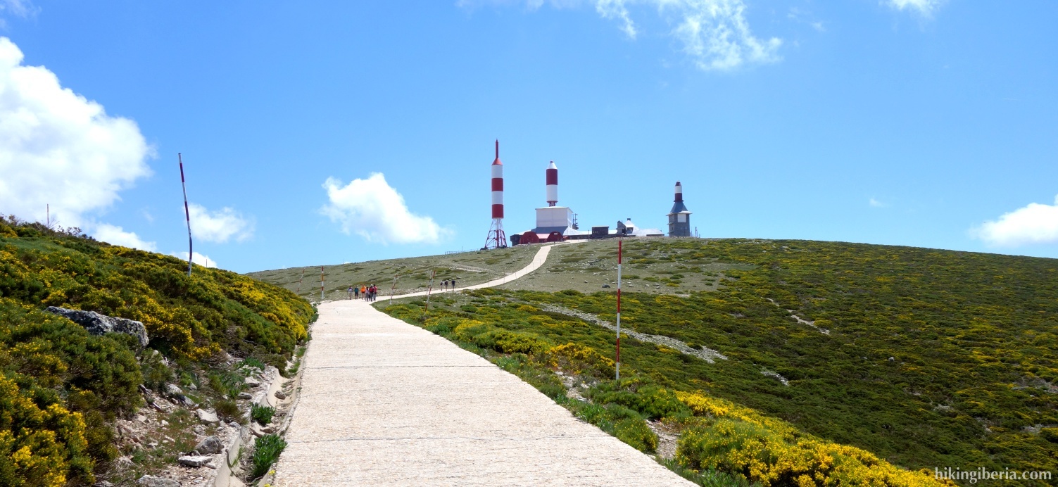
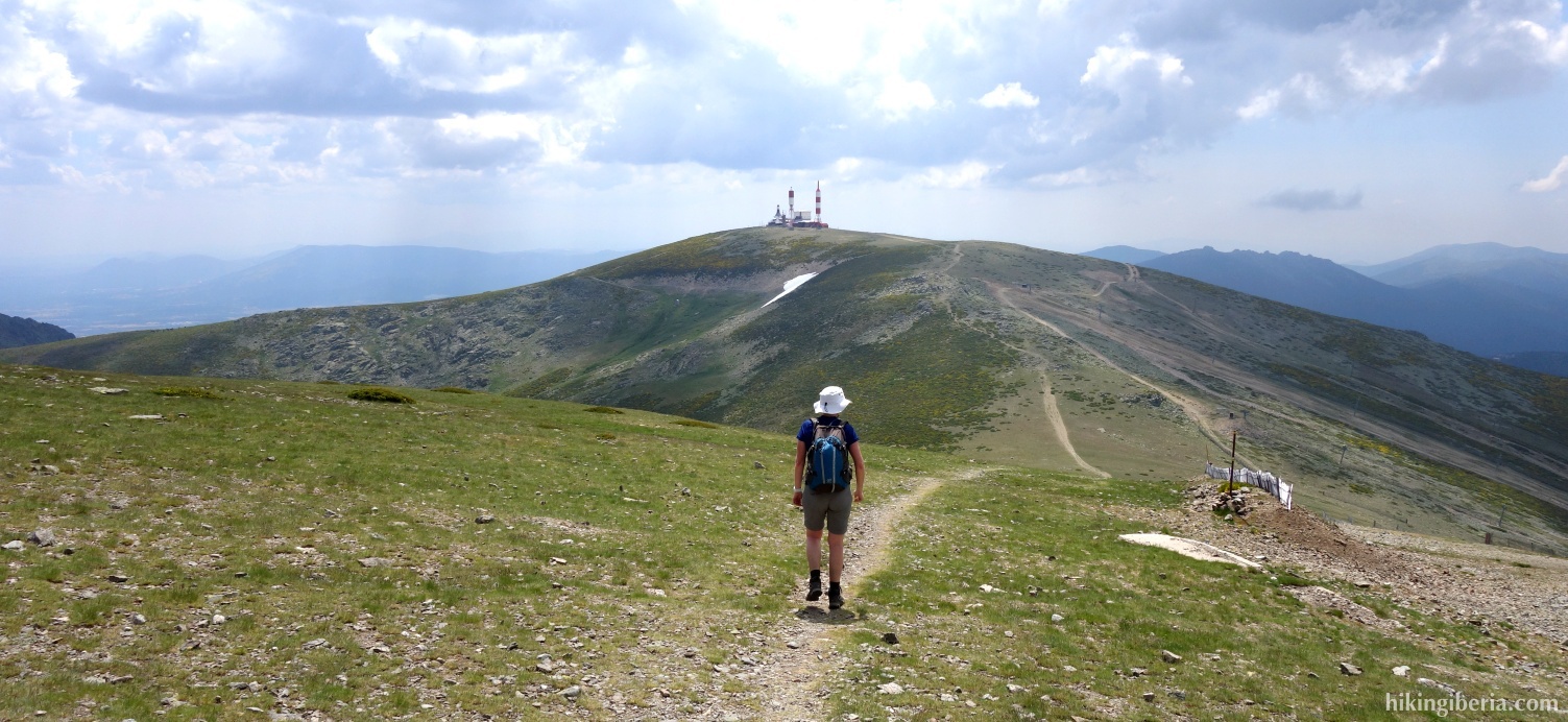
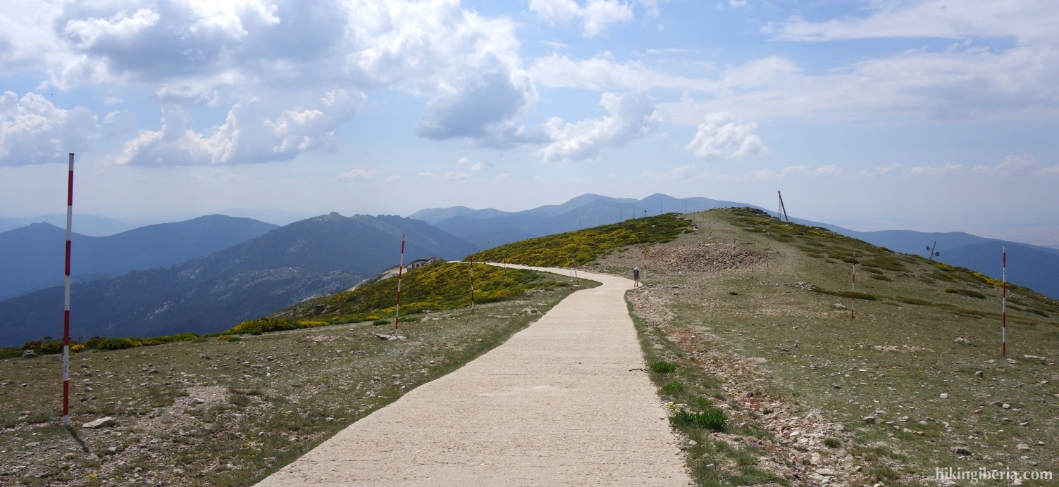
- Through this road and a steep climb we eventually reach the Bola del Mundo (6).
- Just before the buildings of the Bola del Mundo we turn left onto a trail, still marked white-yellow.
- Once past the Bola del Mundo, the path forks and we keep right (7), still on the white-yellow marked PR-11.
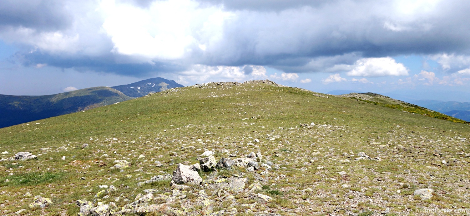
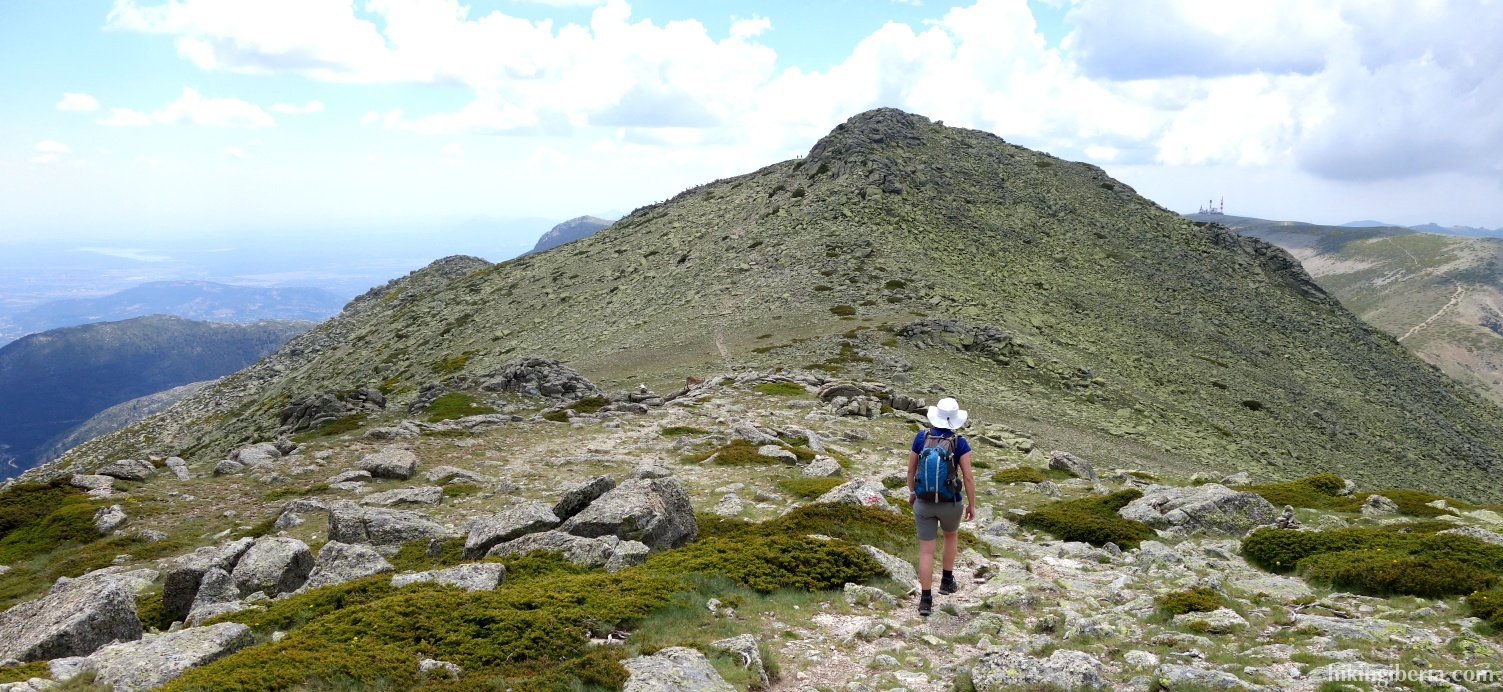
- We now descend for some time and reach the Collado de las Guarramillas (8). From here we ascend again and we walk along the slopes of Valdesquí, through which we eventually arrive at the Cerro de Valdemartín (9) at 2,282 metres.
- From Valdemartín we descend again and we finally arrive at the lowest point on the Collado de Valdemartín (10), at 2,148 metres.
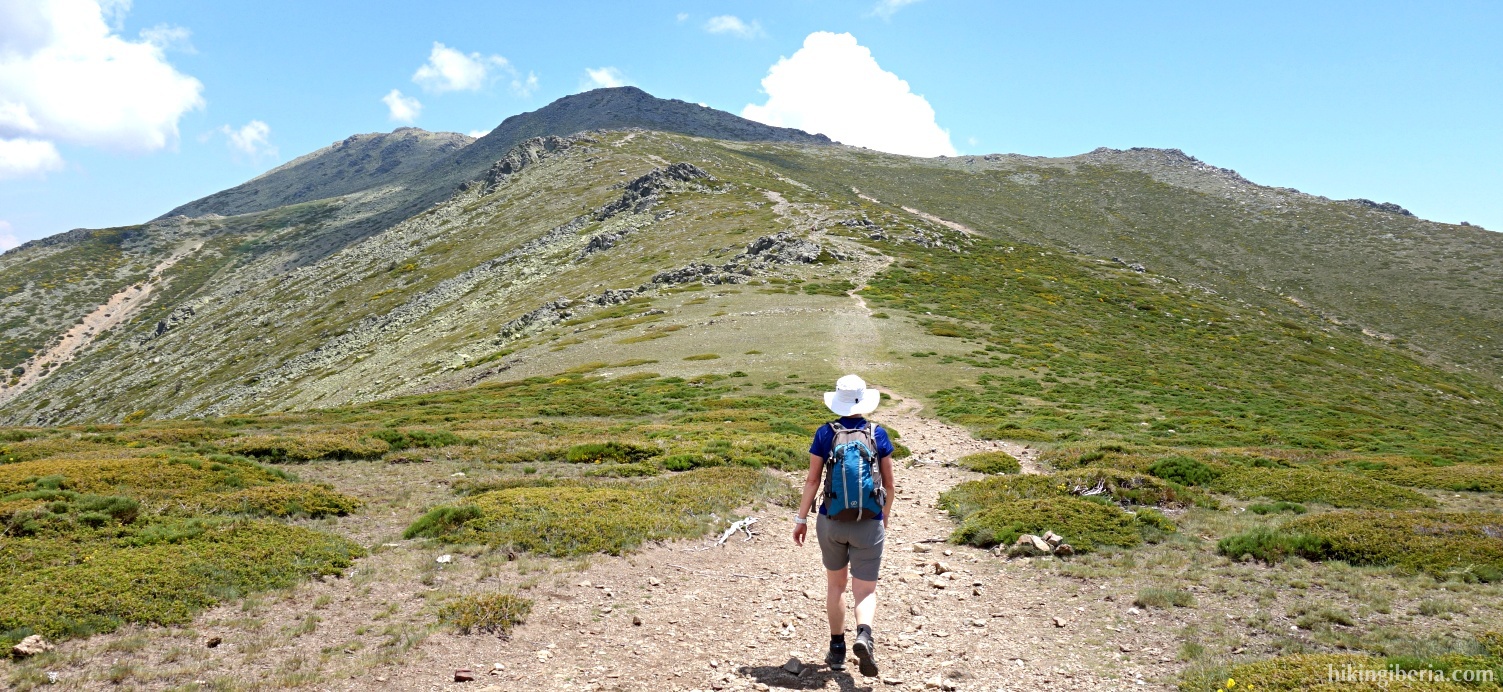
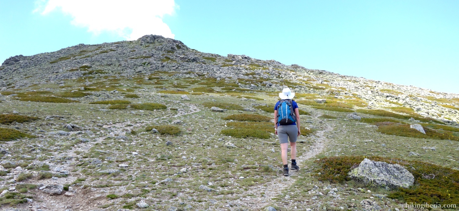
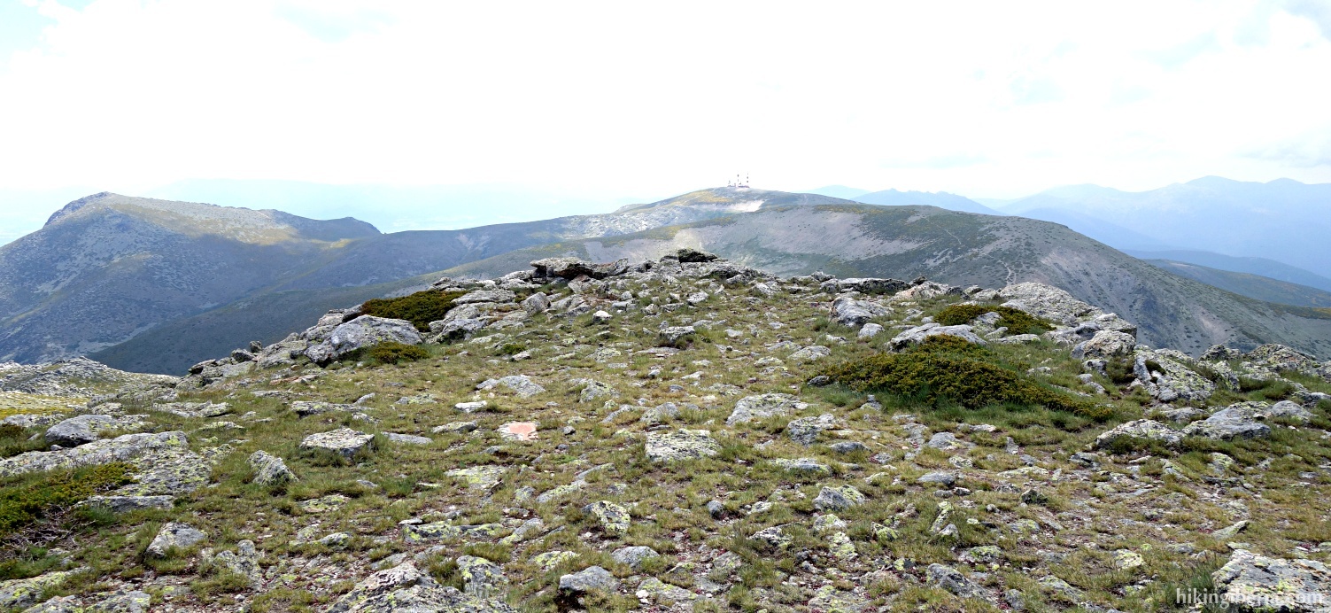
- From here the trail goes uphill again towards the lowest summit of the two Cabezas de Hierro, the Cabeza de Hierro Menor (11), at 2,371 metres. The path to it is easy to follow all the time. Just before the Cabeza de Hierro Menor we need to pay some more attention and follow the marking carefully. Below the top, we turn left to walk to the summit via the milestones and once over the top we go downhill through the right flank.
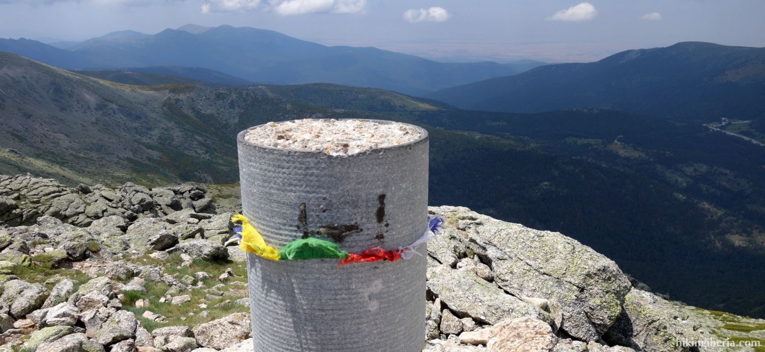
- Beyond the Cabeza de Hierro Menor the trail further continues, first a bit downhill and then uphill again, to finally reach the end of the hike, the Cabeza de Hierro Mayor (12) at 2,383 metres.
- The way back is via the same route.