NL
NL  IT
IT  DE
DE  ES
ES  EN
EN 
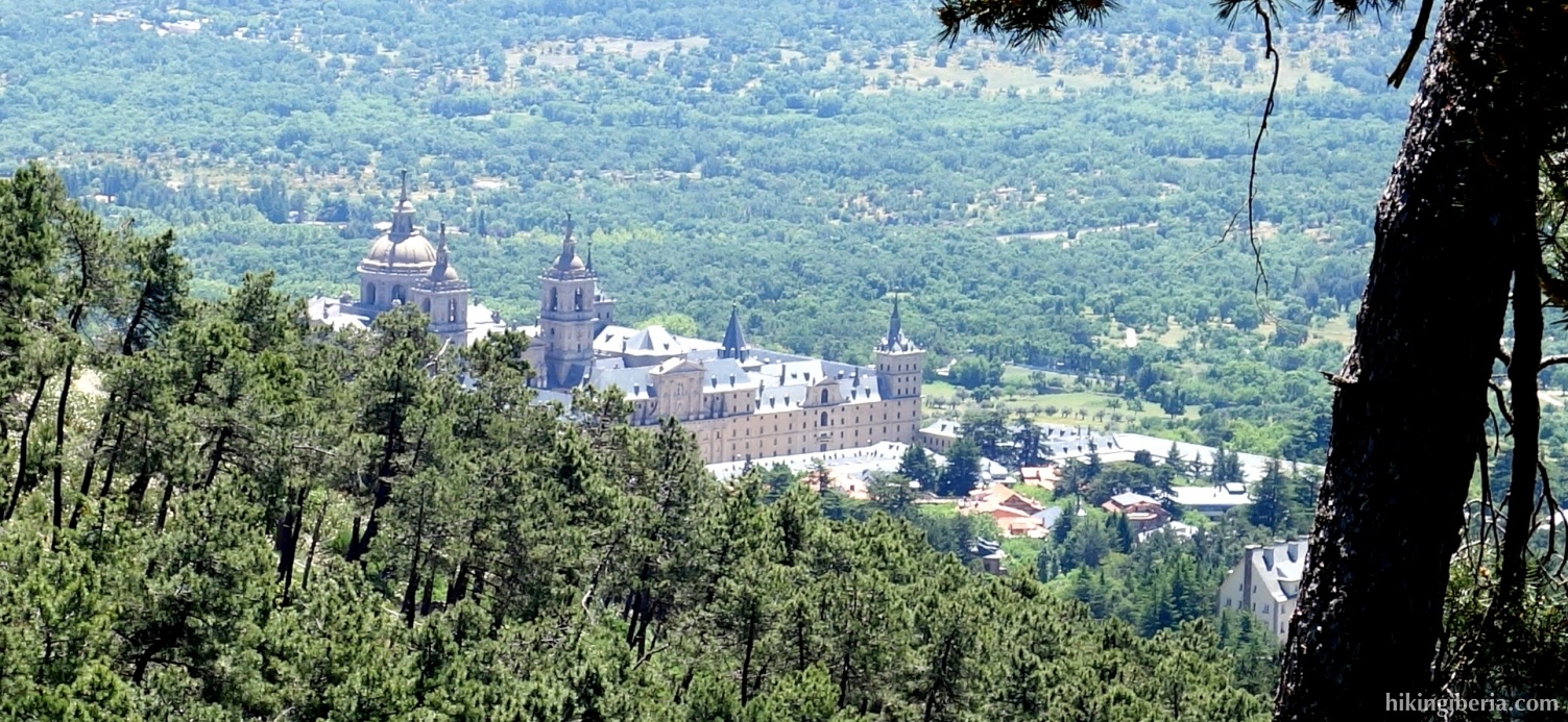
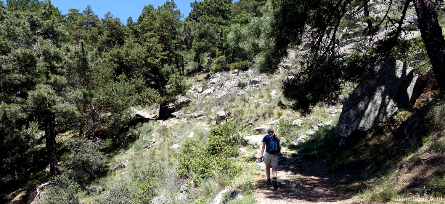
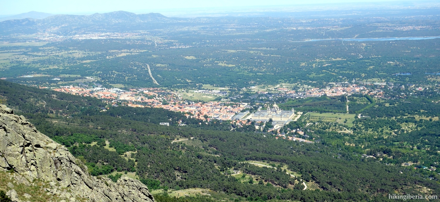
Abantos is one of the most popular peaks in the Sierra de Guadarrama, from where we have a beautiful view on among others the Monastery of San Lorenzo de El Escorial. On the way out we walk from El Escorial via the popular GR-10 but on the way back we walk via the Barranco de la Cabeza. Because on the way back a large part of the area is bordered by a fence and we therefore have to make a detour, partially without trail, the hike is long and difficult.


- We walk down the Paseo los Alamillos (1) and keep right, into the Calle Leandro Rubio. On the next occasion we keep left, into the Avenida Conde de Aranda (2).
- At the next crossroads we go straight on, at the sign "Senda de los Tesoros de Abantos' (3). Then at the first street, Calle Pinar, we turn right (4) and at the next junction turn left, into the Carretera de la Presa (5).
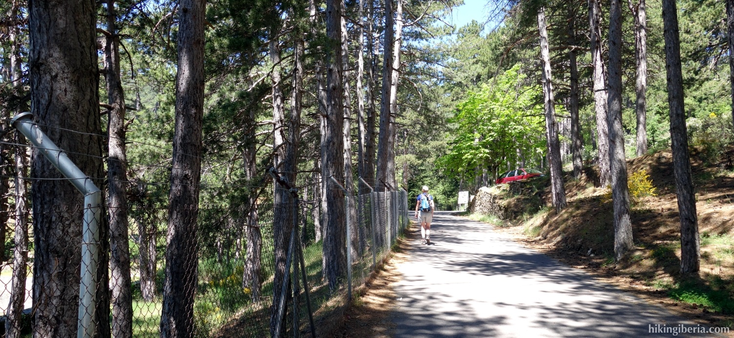
- We leave El Escorial through an asphalt road along a fence and, after a while, have the reservoir "Embalse del Romeral" to our left. Where the asphalt road turns right (6) we go straight on, onto the GR-10.
- Further on we ignore a trail to the left (7) and follow the white-red marking straight on and reach a wider trail which we cross and where we continue the trail on the other side (8). Later, we go through a gate, cross a path and keep following the white-red marking. We reach a road where we make a shortcut to the next bend in the road. Behind this bend we go straight on onto an unmarked path (9).
- This brings us quickly to a wide path where we turn left (10). A little further on at the Y-junction we turn right further uphill. This trail takes us to a paved road where we turn right (11). We follow this road and follow the curve to the right. A few dozen meters beyond this bend we turn left again on the GR-10, marked white-red (12).
- Via the GR-10 we go uphill quickly with several zig-zag bends and at around 1,700 meters we reach a picnic area with a well (13). Here we leave the white-red marking and go straight on, onto a dirt road (14), which we cross and where we follow the milestones straight on.
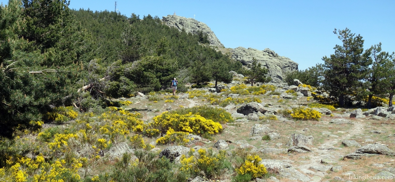
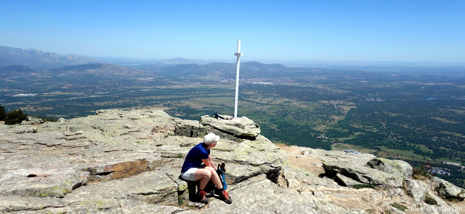
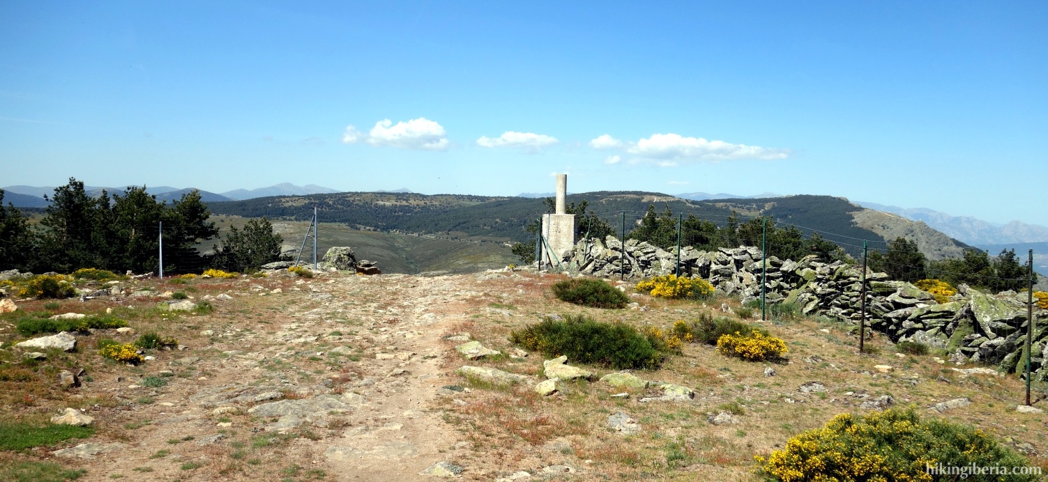
- We arrive at the ridge and turn left (15) where we walk to the peak of the Abantos (16), which we see in front of us.
- From Abantos we keep the path through which we arrived to our left, and follow the white-red markings of the GR-10 straight on. Where the GR-10 turns to the left with a curve (17), we walk straight on to a low wall in front of us. At this wall we turn left, onto a path that again is the GR-10 and marked white-red.
- We walk parallel to this wall until the next fork, where we turn left (18).
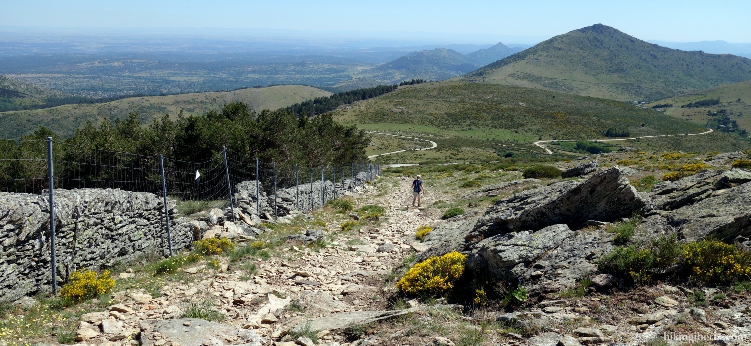
- Further on we reach a fence (19) where both to its left and right runs a path. The path on the right is a bit more comfortable. Further on at the fork we turn left which makes us walk parallel to the fence / wall again and we further descend.
- Further on we reach a turnstile through which we go (20). Behind it we encounter a dirt road where we turn right and then left again, onto a path further downhill.
- A little further on where the trail seems to split we turn right and we eventually arrive at an asphalt road where we turn left (21). Here we can either keep following the asphalt road or take a path to the left of the road that is marked with a pole with a yellow arrow on it.
- Via both the road and the trail we reach the pass "Puerto San Juan de Malagón '(22) where the road takes a bend to the left and where we go straight on along a fence, onto a wide gravel path and ascend a bit.
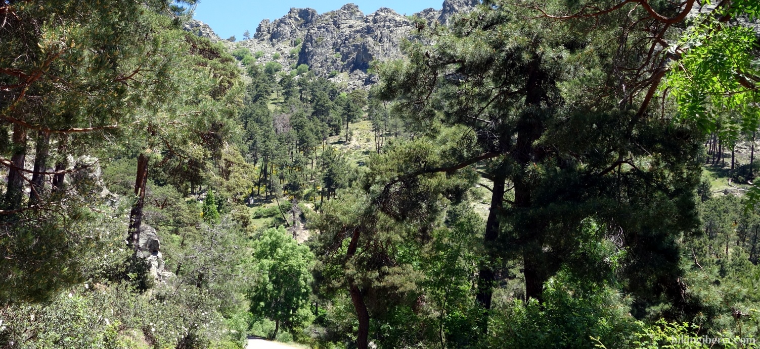
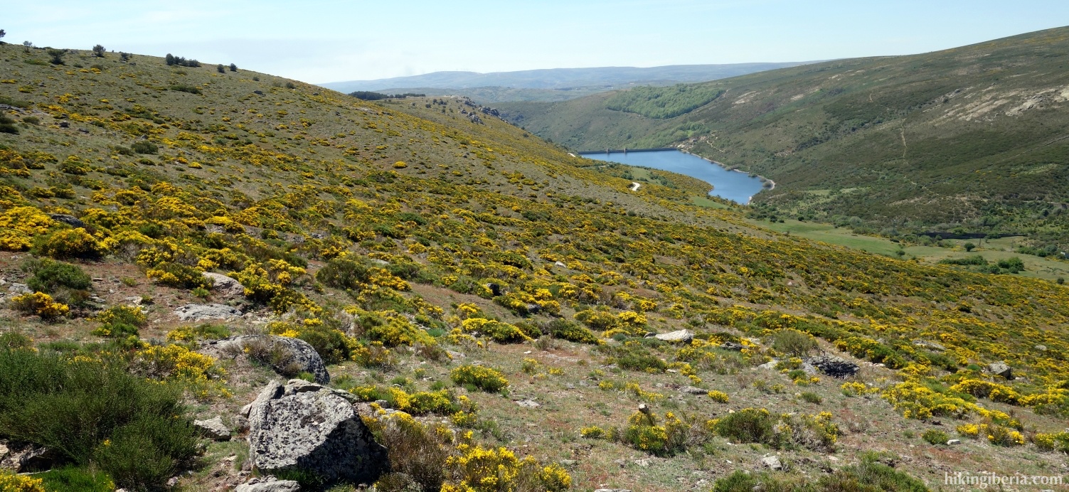
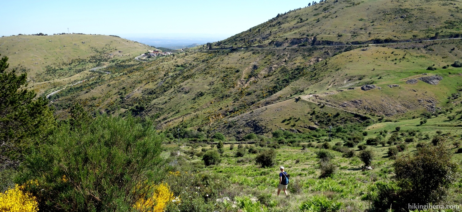
- We follow this path for some time until we see to our left the post of the Barranco de la Cabeza and where we turn left onto a trail (23).
- On the Barranco de la Cabeza (24) we go straight on and walk a while along a fence. The wide trail turns to the right at a point (25), but we go straight ahead on a narrower path, still parallel to the fence.
- We reach the bend of a dirt road (26) where we continue parallel to the wall and thus do not follow the road. Further on we reach the road again (27) where we turn left and follow the road for a while. Where the road turns to the right, away from the wall / fence (28) we leave the road and follow the course of the wall / fence, without a clear path. Halfway we encounter a fence that crosses our trail but through which we can pass.
- Further on we encounter another fence that is more difficult to go through (29). The best passage is far left, near the wall. On the other side of the fence it is best to first walk a bit to the right until there are less plants. From here we can go downhill and walk back slowly in the direction of the wall / fence. This way we further descend until at a point the fence ends (30). Ignore the path on the left. Walk to the wall in front of you and turn left onto the path (31).
- This is a narrow and overgrown path where we have to go through a fence a few times. All the time we have a wall on our right. The easiest way is to where possible go over the wall, because on the other side the trail is slightly more comfortable. This way we arrive at an open meadow (32) and we see the asphalt road M-505. Here first walk parallel to the road until you find a good passage through the fence so you can enter the road. Turn left here (33).
- Follow the paved road a while and turn left at the exit, onto the road to San Lorenzo de El Escorial (34). Walk down this road until you reach again the Paseo de los Alamillos (1).